Mansalay night lights from space
Night Light of Mansalay (Mimaropa) from space (Philippines) Src. Average luminocity for 10x10km area is 0% and for 50x50km: 0.0602%.

Analysis of Mansalay night lights 2016
Square area 10x10 km:
 0%
0%90-99
0%80-89
0%70-79
0%60-69
0%50-59
0%40-49
0%30-39
0%20-29
0%10-19
0%0-9
100%Square area 50x50 km:
0%90-99
0%80-89
0%70-79
0%60-69
0.05%50-59
0%40-49
0.03%30-39
0%20-29
0.01%10-19
0.04%0-9
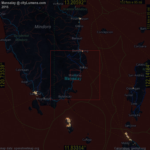
99.86%Clear (daylight) street map image can be seen on geolist.org.
Map coordinates:
13° 12' 21.3" North, 120° 44' 7.4" East
12° 31' 13.6" North, 121° 26' 18.6" East
11° 49' 59.3" North, 122° 8' 29.9" East
Some cities around Mansalay sort by population:
• San Jose
44.4 km =27.6 mi,  245°
245°
• Roxas
11.1 km =6.9 mi,  50°
50°
• Bansud
38.4 km =23.9 mi,  2°
2°
• Bulalacao
24 km =14.9 mi,  205°
205°
• Caminauit
44 km =27.3 mi,  241°
241°
• Magsaysay
37.6 km =23.4 mi, 236°
• Semirara
50.3 km =31.3 mi,  184°
184°
• Bagong Sikat
44.3 km =27.5 mi, 247°
1701516 (p: 23,044)
Sources (retrieved 2019-11-25):
» Earth at Night: Flat Maps 2012, 2016