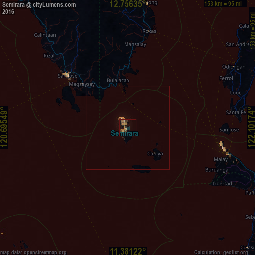
Semirara night lights from space
Night Light of Semirara (Western Visayas) from space (Philippines) Src. Average luminocity for 10x10km area is 17.4897% and for 50x50km: 0.9905%.
Analysis of Semirara night lights 2016
Square area 10x10 km:
 0.41%
0.41%90-99
0.83%80-89
1.24%70-79
3.93%60-69
5.58%50-59
1.86%40-49
6.4%30-39
3.51%20-29
1.86%10-19
3.72%0-9
70.66%Square area 50x50 km:
0.03%90-99
0.04%80-89
0.05%70-79
0.23%60-69
0.29%50-59
0.08%40-49
0.29%30-39
0.17%20-29
0.18%10-19
0.17%0-9
98.48%Clear (daylight) street map image can be seen on geolist.org.
Map coordinates:
12° 45' 22.9" North, 120° 41' 43.8" East
12° 4' 10.8" North, 121° 23' 55" East
11° 22' 52.4" North, 122° 6' 6.3" East
Some cities around Semirara sort by population:
• San Jose
47.8 km =29.7 mi,  311°
311°
• Mansalay
50.3 km =31.3 mi,  4°
4°
• Roxas
58.6 km =36.4 mi,  12°
12°
• Bulalacao
29.1 km =18.1 mi,  348°
348°
• Caminauit
45 km =28 mi, 310°
• Magsaysay
39.9 km =24.8 mi,  317°
317°
• Manoc-Manoc
60.9 km =37.8 mi,  103°
103°
• Bagong Sikat
49.4 km =30.7 mi, 312°
1686992 (p: 5,470)
Sources (retrieved 2019-11-25):
» Earth at Night: Flat Maps 2012, 2016