Romblon night lights from space
Night Light of Romblon (Mimaropa) from space (Philippines) Src. Average luminocity for 10x10km area is 0.6623% and for 50x50km: 0.0387%.
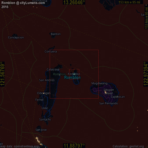
Analysis of Romblon night lights 2016
Square area 10x10 km:
 0%
0%90-99
0%80-89
0%70-79
0%60-69
0%50-59
0%40-49
0.87%30-39
0.22%20-29
0.65%10-19
0%0-9
98.27%Square area 50x50 km:
0%90-99
0%80-89
0%70-79
0%60-69
0%50-59
0%40-49
0.03%30-39
0.01%20-29
0.06%10-19
0%0-9
99.9%Clear (daylight) street map image can be seen on geolist.org.
Map coordinates:
13° 15' 37.7" North, 121° 34' 3.7" East
12° 34' 30.5" North, 122° 16' 14.9" East
11° 53' 16.7" North, 122° 58' 26.2" East
Some cities around Romblon sort by population:
• Aurora
90 km =55.9 mi,  17°
17°
• Roxas
81.7 km =50.8 mi,  270°
270°
• Pagsañgahan
77.1 km =47.9 mi, 22°
• Gibong
83 km =51.6 mi,  197°
197°
• Odiongan
35.9 km =22.3 mi,  237°
237°
• Manoc-Manoc
78.9 km =49 mi,  206°
206°
• Pansoy
76.3 km =47.4 mi,  27°
27°
• Talisay
77.4 km =48.1 mi, 29°
1691538 (p: 15,316)
Sources (retrieved 2019-11-25):
» Earth at Night: Flat Maps 2012, 2016