Roxas night lights from space
Night Light of Roxas (Mimaropa) from space (Philippines) Src. Average luminocity for 10x10km area is 0.6039% and for 50x50km: 0.0897%.
Analysis of Roxas night lights 2016
Square area 10x10 km:
 0%
0%90-99
0%80-89
0%70-79
0%60-69
0%50-59
0%40-49
0.87%30-39
0%20-29
0.22%10-19
0.65%0-9
98.27%Square area 50x50 km:
0%90-99
0%80-89
0%70-79
0%60-69
0.07%50-59
0%40-49
0.07%30-39
0%20-29
0.01%10-19
0.06%0-9
99.8%Clear (daylight) street map image can be seen on geolist.org.
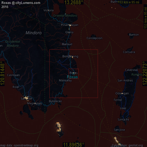
Map coordinates:
13° 16' 7.7" North, 120° 48' 52.1" East
12° 35' 0.6" North, 121° 31' 3.4" East
11° 53' 46.9" North, 122° 13' 14.6" East
Some cities around Roxas sort by population:
• Pinamalayan
51.8 km =32.2 mi,  353°
353°
• Mansalay
11.1 km =6.9 mi,  230°
230°
• Bansud
32 km =19.9 mi, 348°
• Bulalacao
34.4 km =21.4 mi,  213°
213°
• Caminauit
54.9 km =34.1 mi,  239°
239°
• Magsaysay
48.6 km =30.2 mi, 235°
• Gloria
44.8 km =27.8 mi, 352°
• Bagong Sikat
55 km =34.2 mi, 244°
1691442 (p: 14,335)
Sources (retrieved 2019-11-25):
» Earth at Night: Flat Maps 2012, 2016