Manoc-Manoc night lights from space
Night Light of Manoc-Manoc (Western Visayas) from space (Philippines) Src. Average luminocity for 10x10km area is 10.7707% and for 50x50km: 0.5467%.
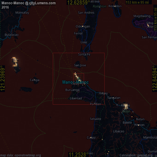
Analysis of Manoc-Manoc night lights 2016
Square area 10x10 km:
 0.41%
0.41%90-99
0.41%80-89
2.07%70-79
3.72%60-69
1.65%50-59
0.83%40-49
2.48%30-39
0.83%20-29
3.31%10-19
0%0-9
84.3%Square area 50x50 km:
0.02%90-99
0.02%80-89
0.08%70-79
0.15%60-69
0.1%50-59
0.03%40-49
0.1%30-39
0.1%20-29
0.2%10-19
0.03%0-9
99.16%Clear (daylight) street map image can be seen on geolist.org.
Map coordinates:
12° 37' 42.9" North, 121° 14' 22.9" East
11° 56' 29.7" North, 121° 56' 34.1" East
11° 15' 10.1" North, 122° 38' 45.4" East
Some cities around Manoc-Manoc sort by population:
• Kalibo (poblacion)
52.8 km =32.8 mi,  119°
119°
• Pandan
27.8 km =17.3 mi,  141°
141°
• Romblon
78.9 km =49 mi,  26°
26°
• Bulalacao
77.9 km =48.4 mi,  303°
303°
• Gibong
13.6 km =8.5 mi,  129°
129°
• Odiongan
51.4 km =31.9 mi,  5°
5°
• New Washington
62.3 km =38.7 mi, 121°
• Semirara
60.9 km =37.8 mi,  283°
283°
1701551 (p: 5,991)
Sources (retrieved 2019-11-25):
» Earth at Night: Flat Maps 2012, 2016