Pandan night lights from space
Night Light of Pandan (Western Visayas) from space (Philippines) Src. Average luminocity for 10x10km area is 0.2521% and for 50x50km: 0.4204%.
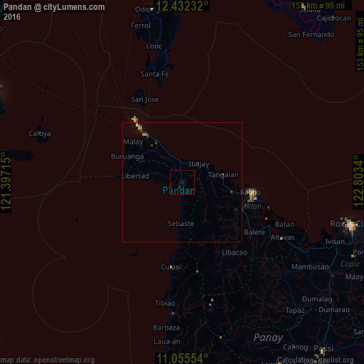
Analysis of Pandan night lights 2016
Square area 10x10 km:
 0%
0%90-99
0%80-89
0%70-79
0%60-69
0%50-59
0%40-49
0%30-39
0%20-29
0.83%10-19
0%0-9
99.17%Square area 50x50 km:
0.02%90-99
0.02%80-89
0.03%70-79
0.1%60-69
0.07%50-59
0%40-49
0.07%30-39
0.17%20-29
0.2%10-19
0.07%0-9
99.26%Clear (daylight) street map image can be seen on geolist.org.
Map coordinates:
12° 25' 56.4" North, 121° 23' 49.7" East
11° 44' 41.2" North, 122° 6' 1" East
11° 3' 19.9" North, 122° 48' 12.2" East
Some cities around Pandan sort by population:
• Roxas City
73.1 km =45.4 mi,  104°
104°
• Kalibo (poblacion)
29.1 km =18.1 mi, 98°
• Gibong
14.8 km =9.2 mi,  333°
333°
• Manoc-Manoc
27.8 km =17.3 mi,  321°
321°
• Mambusao
64.3 km =40 mi,  122°
122°
• Bilao
57.6 km =35.8 mi, 119°
• New Washington
37.6 km =23.4 mi,  106°
106°
• Ivisan
68.9 km =42.8 mi, 111°
8299649 (p: 34,000)
Sources (retrieved 2019-11-25):
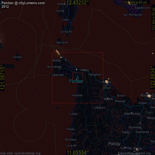
» Earth at Night: Flat Maps 2012, 2016