Nangka night lights from space
Night Light of Nangka (Central Visayas) from space (Philippines) Src. Average luminocity for 10x10km area is 2.0434% and for 50x50km: 6.0565%.
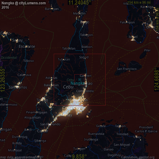
Analysis of Nangka night lights 2016
Square area 10x10 km:
 0%
0%90-99
0%80-89
0%70-79
0%60-69
0%50-59
0%40-49
1.65%30-39
0.83%20-29
0%10-19
0%0-9
97.52%Square area 50x50 km:
0.97%90-99
0.9%80-89
0.92%70-79
0.66%60-69
1.07%50-59
0.36%40-49
0.98%30-39
0.78%20-29
1.8%10-19
3.3%0-9
88.27%Clear (daylight) street map image can be seen on geolist.org.
Map coordinates:
11° 14' 25.6" North, 123° 15' 48.8" East
10° 33' 0" North, 123° 58' 0" East
9° 51' 28.8" North, 124° 40' 11.3" East
Some cities around Nangka sort by population:
• Danao
7.4 km =4.6 mi,  116°
116°
• Liloan
17.2 km =10.7 mi,  168°
168°
• Consolacion
19.3 km =12 mi,  183°
183°
• Apas
24.3 km =15.1 mi,  196°
196°
• Cogan
7.4 km =4.6 mi,  49°
49°
• Compostela
11.6 km =7.2 mi,  155°
155°
• Catmon
18.9 km =11.7 mi,  11°
11°
• Tayud
19.4 km =12.1 mi, 167°
1698269 (p: 6,580)
Sources (retrieved 2019-11-25):
» Earth at Night: Flat Maps 2012, 2016