Angono night lights from space
Night Light of Angono (Calabarzon) from space (Philippines) Src. Average luminocity for 10x10km area is 58.2771% and for 50x50km: 41.7385%.
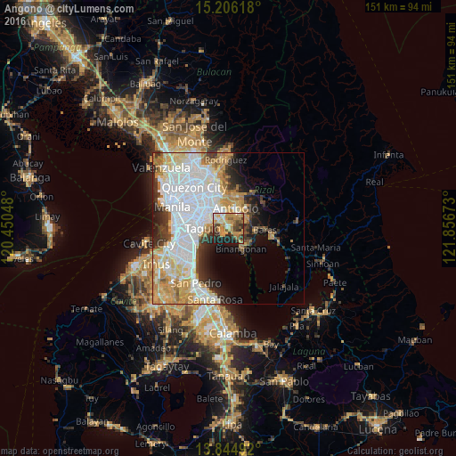
Analysis of Angono night lights 2016
Square area 10x10 km:
 3.25%
3.25%90-99
8.01%80-89
9.52%70-79
21.43%60-69
12.77%50-59
7.14%40-49
9.31%30-39
8.66%20-29
12.55%10-19
7.36%0-9
0%Square area 50x50 km:
14.7%90-99
9.11%80-89
4.53%70-79
6.91%60-69
4.95%50-59
1.81%40-49
2.29%30-39
4.42%20-29
4.98%10-19
5.78%0-9
40.52%Clear (daylight) street map image can be seen on geolist.org.
Map coordinates:
15° 12' 22.2" North, 120° 27' 1.7" East
14° 31' 35.8" North, 121° 9' 13" East
13° 50' 41.7" North, 121° 51' 24.2" East
Some cities around Angono sort by population:
• Taguig
8 km =5 mi,  268°
268°
• Antipolo
11.5 km =7.1 mi,  343°
343°
• Cainta
6.7 km =4.2 mi,  329°
329°
• Taytay
4.2 km =2.6 mi, 328°
• Binangonan
8.1 km =5 mi,  148°
148°
• Morong
9.1 km =5.7 mi,  95°
95°
• Teresa
8.1 km =5 mi,  61°
61°
• Cardona
9.1 km =5.7 mi,  119°
119°
1730713 (p: 87,199)
Sources (retrieved 2019-11-25):
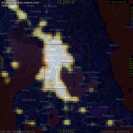
» NASA, Earths city lights 1995
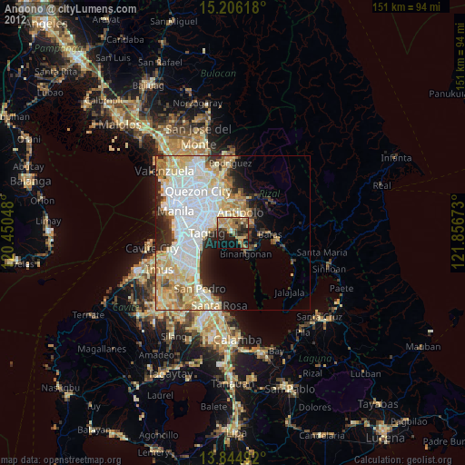
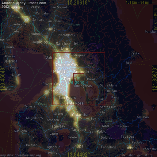
» NASA city lights 2003
» Earth at Night: Flat Maps 2012, 2016