Mauban night lights from space
Night Light of Mauban (Calabarzon) from space (Philippines) Src. Average luminocity for 10x10km area is 3.9199% and for 50x50km: 1.0854%.
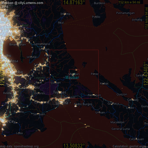
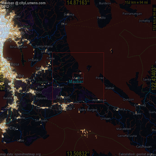
Analysis of Mauban night lights 2016
Square area 10x10 km:
 0%
0%90-99
0%80-89
0%70-79
0%60-69
1.73%50-59
1.95%40-49
1.52%30-39
0%20-29
2.6%10-19
0.87%0-9
91.34%Square area 50x50 km:
0%90-99
0%80-89
0.13%70-79
0.19%60-69
0.16%50-59
0.24%40-49
0.25%30-39
0.13%20-29
0.35%10-19
1.01%0-9
97.54%Clear (daylight) street map image can be seen on geolist.org.
Map coordinates:
14° 52' 17.9" North, 121° 1' 40" East
14° 11' 27.6" North, 121° 43' 51.2" East
13° 30' 30" North, 122° 26' 2.5" East
Some cities around Mauban sort by population:
• Tayabas
23.6 km =14.7 mi,  219°
219°
• Lucban
20.8 km =12.9 mi,  245°
245°
• Cagsiay
3.5 km =2.2 mi,  35°
35°
• Cavinti
24.8 km =15.4 mi,  283°
283°
• Malinao Ilaya
24.4 km =15.2 mi,  152°
152°
• Kalayaan
25 km =15.5 mi,  314°
314°
• Sampaloc
10.3 km =6.4 mi, 252°
• Malicboy
24.1 km =15 mi,  164°
164°
1700179 (p: 32,739)
Sources (retrieved 2019-11-25):
» Earth at Night: Flat Maps 2012, 2016