Sampaloc night lights from space
Night Light of Sampaloc (Calabarzon) from space (Philippines) Src. Average luminocity for 10x10km area is 0.3117% and for 50x50km: 3.2206%.
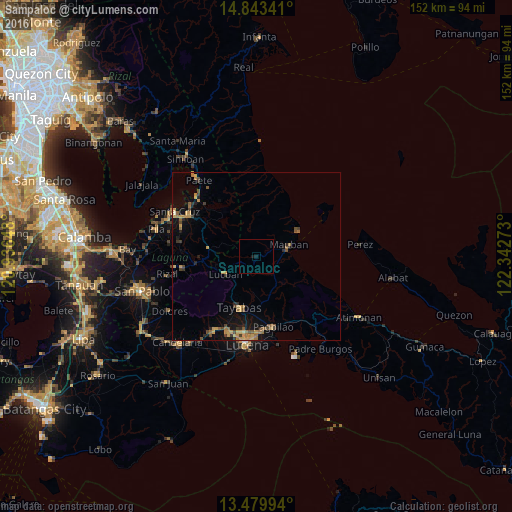
Analysis of Sampaloc night lights 2016
Square area 10x10 km:
 0%
0%90-99
0%80-89
0%70-79
0%60-69
0%50-59
0%40-49
0%30-39
0%20-29
0%10-19
1.73%0-9
98.27%Square area 50x50 km:
0%90-99
0.03%80-89
0.28%70-79
1.12%60-69
0.66%50-59
0.53%40-49
0.7%30-39
0.44%20-29
0.58%10-19
2.04%0-9
93.62%Clear (daylight) street map image can be seen on geolist.org.
Map coordinates:
14° 50' 36.3" North, 120° 56' 11.3" East
14° 9' 45.7" North, 121° 38' 22.6" East
13° 28' 47.8" North, 122° 20' 33.8" East
Some cities around Sampaloc sort by population:
• Tayabas
16 km =9.9 mi,  198°
198°
• Mauban
10.3 km =6.4 mi,  72°
72°
• Lucban
10.6 km =6.6 mi,  238°
238°
• Lilio
22.2 km =13.8 mi,  260°
260°
• Majayjay
18.1 km =11.2 mi, 264°
• Cagsiay
13.3 km =8.3 mi,  63°
63°
• Cavinti
16.9 km =10.5 mi,  302°
302°
• Mamala
21 km =13 mi,  219°
219°
1690582 (p: 6,743)
Sources (retrieved 2019-11-25):
» Earth at Night: Flat Maps 2012, 2016