Lucban night lights from space
Night Light of Lucban (Calabarzon) from space (Philippines) Src. Average luminocity for 10x10km area is 1.6342% and for 50x50km: 5.8072%.
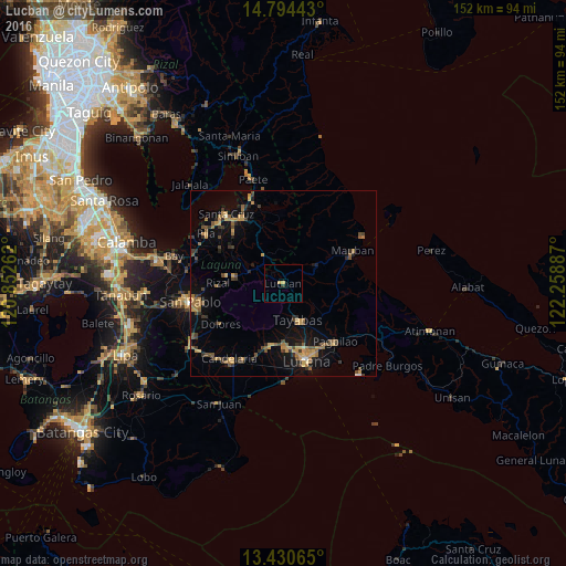
Analysis of Lucban night lights 2016
Square area 10x10 km:
 0%
0%90-99
0%80-89
0%70-79
1.73%60-69
0%50-59
0%40-49
0%30-39
0.87%20-29
0%10-19
0%0-9
97.4%Square area 50x50 km:
0.07%90-99
0.08%80-89
0.39%70-79
1.64%60-69
1.24%50-59
1.05%40-49
1.22%30-39
1.13%20-29
1%10-19
3.65%0-9
88.53%Clear (daylight) street map image can be seen on geolist.org.
Map coordinates:
14° 47' 39.9" North, 120° 51' 9.4" East
14° 6' 48.8" North, 121° 33' 20.7" East
13° 25' 50.3" North, 122° 15' 31.9" East
Some cities around Lucban sort by population:
• Sariaya
17.1 km =10.6 mi,  190°
190°
• Tayabas
10.5 km =6.5 mi,  157°
157°
• Nagcarlan
15.2 km =9.4 mi,  279°
279°
• Lilio
13 km =8.1 mi, 278°
• Majayjay
9.6 km =6 mi,  292°
292°
• Cavinti
15.5 km =9.6 mi,  340°
340°
• Mamala
11.6 km =7.2 mi,  201°
201°
• Sampaloc
10.6 km =6.6 mi,  58°
58°
1705367 (p: 30,992)
Sources (retrieved 2019-11-25):
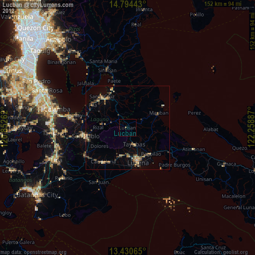
» Earth at Night: Flat Maps 2012, 2016