Cagsiay night lights from space
Night Light of Cagsiay (Calabarzon) from space (Philippines) Src. Average luminocity for 10x10km area is 4.3247% and for 50x50km: 0.625%.
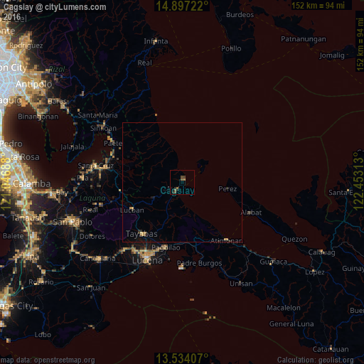
Analysis of Cagsiay night lights 2016
Square area 10x10 km:
 0%
0%90-99
0%80-89
0%70-79
0%60-69
1.73%50-59
1.95%40-49
2.38%30-39
0%20-29
2.6%10-19
0.87%0-9
90.48%Square area 50x50 km:
0%90-99
0%80-89
0.11%70-79
0.13%60-69
0.13%50-59
0.08%40-49
0.13%30-39
0.08%20-29
0.23%10-19
0.17%0-9
98.95%Clear (daylight) street map image can be seen on geolist.org.
Map coordinates:
14° 53' 50" North, 121° 2' 48.8" East
14° 13' 0" North, 121° 45' 0" East
13° 32' 2.7" North, 122° 27' 11.3" East
Some cities around Cagsiay sort by population:
• Tayabas
27.1 km =16.8 mi,  218°
218°
• Mauban
3.5 km =2.2 mi, 215°
• Lucban
23.9 km =14.9 mi,  241°
241°
• Cavinti
26.3 km =16.3 mi,  276°
276°
• Malinao Ilaya
26.2 km =16.3 mi,  159°
159°
• Kalayaan
24.7 km =15.3 mi,  306°
306°
• Sampaloc
13.3 km =8.3 mi, 243°
• Malicboy
26.5 km =16.5 mi,  170°
170°
1720948 (p: 10,173)
Sources (retrieved 2019-11-25):
» Earth at Night: Flat Maps 2012, 2016