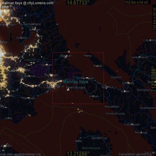
Malinao Ilaya night lights from space
Night Light of Malinao Ilaya (Calabarzon) from space (Philippines) Src. Average luminocity for 10x10km area is 0.0195% and for 50x50km: 1.6212%.
Analysis of Malinao Ilaya night lights 2016
Square area 10x10 km:
 0%
0%90-99
0%80-89
0%70-79
0%60-69
0%50-59
0%40-49
0%30-39
0%20-29
0%10-19
0%0-9
100%Square area 50x50 km:
0.09%90-99
0.04%80-89
0.19%70-79
0.3%60-69
0.37%50-59
0.31%40-49
0.31%30-39
0.18%20-29
0.44%10-19
1.16%0-9
96.6%Clear (daylight) street map image can be seen on geolist.org.
Map coordinates:
14° 40' 38.4" North, 121° 7' 57.5" East
13° 59' 46" North, 121° 50' 8.8" East
13° 18' 46.3" North, 122° 32' 20" East
Some cities around Malinao Ilaya sort by population:
• Lucena
24.7 km =15.3 mi,  253°
253°
• Pagbilao
15.2 km =9.4 mi,  257°
257°
• Tayabas
26.4 km =16.4 mi,  277°
277°
• Mauban
24.4 km =15.2 mi,  332°
332°
• Atimonan
9.2 km =5.7 mi,  85°
85°
• Cagsiay
26.2 km =16.3 mi,  339°
339°
• Alabat
22.3 km =13.9 mi,  58°
58°
• Malicboy
5.3 km =3.3 mi, 252°
1702718 (p: 7,528)
Sources (retrieved 2019-11-25):
» Earth at Night: Flat Maps 2012, 2016