Tulunan night lights from space
Night Light of Tulunan (Soccsksargen) from space (Philippines) Src. Average luminocity for 10x10km area is 0% and for 50x50km: 0.8644%.
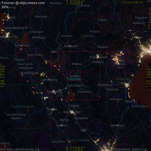
Analysis of Tulunan night lights 2016
Square area 10x10 km:
 0%
0%90-99
0%80-89
0%70-79
0%60-69
0%50-59
0%40-49
0%30-39
0%20-29
0%10-19
0%0-9
100%Square area 50x50 km:
0.04%90-99
0.06%80-89
0.07%70-79
0.19%60-69
0.09%50-59
0.09%40-49
0.23%30-39
0.47%20-29
0.21%10-19
0.13%0-9
98.43%Clear (daylight) street map image can be seen on geolist.org.
Map coordinates:
7° 31' 55.3" North, 124° 10' 25.8" East
6° 50' 4" North, 124° 52' 37" East
6° 8' 9" North, 125° 34' 48.3" East
Some cities around Tulunan sort by population:
• Tacurong
27.2 km =16.9 mi,  234°
234°
• Buluan
15.2 km =9.4 mi,  213°
213°
• Lutayan
24 km =14.9 mi,  178°
178°
• Bialong
16.3 km =10.1 mi,  4°
4°
• Digal
12.7 km =7.9 mi,  224°
224°
• Bagontapay
4.5 km =2.8 mi,  52°
52°
• Badak
17.3 km =10.7 mi,  274°
274°
• Columbio
16.7 km =10.4 mi,  156°
156°
1680820 (p: 9,584)
Sources (retrieved 2019-11-25):
» Earth at Night: Flat Maps 2012, 2016