Bauan night lights from space
Night Light of Bauan (Calabarzon) from space (Philippines) Src. Average luminocity for 10x10km area is 40.7149% and for 50x50km: 9.1997%.
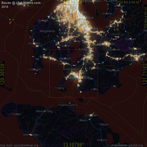
Analysis of Bauan night lights 2016
Square area 10x10 km:
 5.37%
5.37%90-99
5.99%80-89
3.1%70-79
6.2%60-69
10.95%50-59
4.75%40-49
5.17%30-39
7.23%20-29
12.19%10-19
31.4%0-9
7.64%Square area 50x50 km:
0.47%90-99
0.61%80-89
0.54%70-79
2.56%60-69
1.82%50-59
0.76%40-49
1.73%30-39
1.94%20-29
2.12%10-19
7.98%0-9
79.46%Clear (daylight) street map image can be seen on geolist.org.
Map coordinates:
14° 28' 24.7" North, 120° 18' 19.4" East
13° 47' 30.1" North, 121° 0' 30.6" East
13° 6' 28.3" North, 121° 42' 41.9" East
Some cities around Bauan sort by population:
• Batangas
6.6 km =4.1 mi,  125°
125°
• Taal
13.5 km =8.4 mi,  316°
316°
• San Pascual
2.5 km =1.6 mi,  34°
34°
• Cuenca
13.1 km =8.1 mi,  20°
20°
• Santa Rita Aplaya
3.6 km =2.2 mi, 127°
• Ibaan
13.7 km =8.5 mi,  77°
77°
• Bolo
2.9 km =1.8 mi,  266°
266°
• Taysan
12.9 km =8 mi,  47°
47°
1725991 (p: 33,560)
Sources (retrieved 2019-11-25):
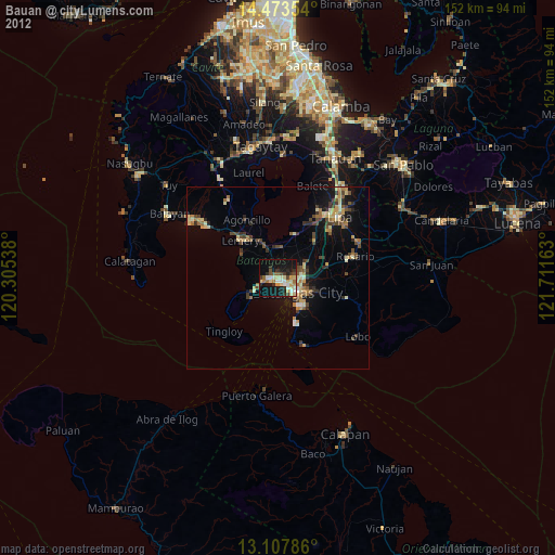
» Earth at Night: Flat Maps 2012, 2016