Cainta night lights from space
Night Light of Cainta (Calabarzon) from space (Philippines) Src. Average luminocity for 10x10km area is 88.5195% and for 50x50km: 43.0713%.
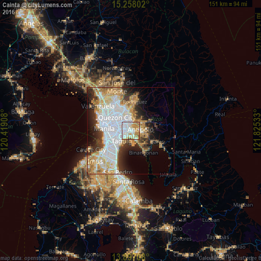

Analysis of Cainta night lights 2016
Square area 10x10 km:
 36.58%
90-99
21.65%80-89
10.17%70-79
22.29%60-69
6.71%50-59
1.73%40-49
0.87%30-39
0%20-29
0%10-19
0%0-9
0%Square area 50x50 km:
14.36%90-99
8.89%80-89
4.55%70-79
6.91%60-69
6.18%50-59
2.13%40-49
2.5%30-39
4.91%20-29
6.39%10-19
7.47%0-9
35.72%Clear (daylight) street map image can be seen on geolist.org.
Map coordinates:
15° 15' 28.9" North, 120° 25' 8.7" East
14° 34' 43" North, 121° 7' 19.9" East
13° 53' 49.5" North, 121° 49' 31.2" East
Some cities around Cainta sort by population:
• Taguig
7.6 km =4.7 mi,  217°
217°
• Pasig City
6.6 km =4.1 mi,  278°
278°
• Antipolo
5.2 km =3.2 mi,  0°
0°
• Mandaluyong City
8.8 km =5.5 mi,  273°
273°
• Taytay
2.5 km =1.6 mi,  152°
152°
• San Juan
9.9 km =6.2 mi, 283°
• Angono
6.7 km =4.2 mi, 149°
• Calumpang
6 km =3.7 mi,  324°
324°
1720840 (p: 283,172)
Sources (retrieved 2019-11-25):
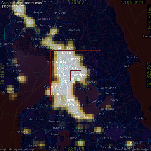
» NASA, Earths city lights 1995
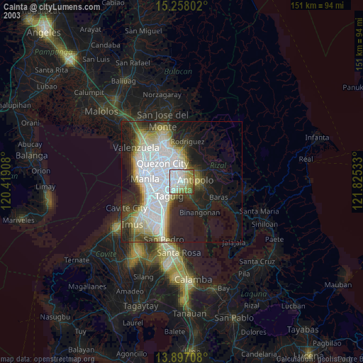
» NASA city lights 2003
» Earth at Night: Flat Maps 2012, 2016