Wewak night lights from space
Night Light of Wewak (East Sepik) from space (Papua New Guinea) Src. Average luminocity for 10x10km area is 10.1169% and for 50x50km: 0.9589%.
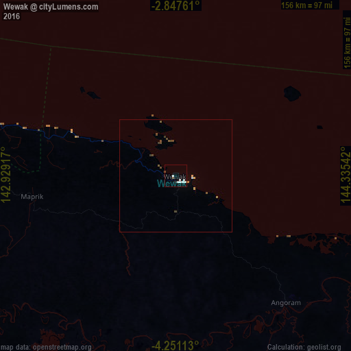
Analysis of Wewak night lights 2016
Square area 10x10 km:
 3.03%
3.03%90-99
3.9%80-89
0%70-79
0%60-69
0.87%50-59
0%40-49
0.87%30-39
0%20-29
0.87%10-19
0%0-9
90.48%Square area 50x50 km:
0.13%90-99
0.18%80-89
0.08%70-79
0.1%60-69
0.03%50-59
0.14%40-49
0.34%30-39
0.11%20-29
0.03%10-19
0%0-9
98.86%Clear (daylight) street map image can be seen on geolist.org.
Map coordinates:
2° 50' 51.4" South, 142° 55' 45" East
3° 32' 58.7" South, 143° 37' 56.2" East
4° 15' 4.1" South, 144° 20' 7.5" East
Some cities around Wewak sort by population:
• Mount Hagen
265 km =164.7 mi,  165°
165°
• Madang
302.7 km =188.1 mi,  127°
127°
• Mendi
288.9 km =179.5 mi,  179°
179°
• Vanimo
276.1 km =171.6 mi,  290°
290°
• Tari
266.3 km =165.5 mi,  196°
196°
• Aitape
149.6 km =93 mi, 287°
• Wabag
216.1 km =134.3 mi, 177°
• Kurumul
279.2 km =173.5 mi,  156°
156°
2083537 (p: 18,230)
Sources (retrieved 2019-11-25):
» Earth at Night: Flat Maps 2012, 2016