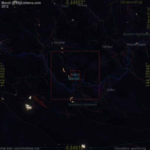
Mendi night lights from space
Night Light of Mendi (Southern Highlands) from space (Papua New Guinea) Src. Average luminocity for 10x10km area is 1.7645% and for 50x50km: 0.6139%.
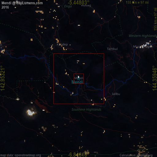
Analysis of Mendi night lights 2016
Square area 10x10 km:
 1.03%
1.03%90-99
0.62%80-89
0%70-79
0%60-69
0%50-59
0%40-49
0%30-39
0%20-29
0%10-19
0%0-9
98.35%Square area 50x50 km:
0.07%90-99
0.03%80-89
0.09%70-79
0.09%60-69
0.15%50-59
0.21%40-49
0.15%30-39
0.07%20-29
0%10-19
0.03%0-9
99.11%Clear (daylight) street map image can be seen on geolist.org.
Map coordinates:
5° 26' 52.9" South, 142° 57' 11.6" East
6° 8' 51.2" South, 143° 39' 22.8" East
6° 50' 46.2" South, 144° 21' 34.1" East
Some cities around Mendi sort by population:
• Mount Hagen
71.2 km =44.2 mi,  63°
63°
• Goroka
191.4 km =118.9 mi,  87°
87°
• Kundiawa
145.8 km =90.6 mi,  84°
84°
• Kainantu
244.7 km =152 mi, 93°
• Tari
85.4 km =53.1 mi,  293°
293°
• Ialibu
40.2 km =25 mi,  111°
111°
• Wabag
73.3 km =45.5 mi,  5°
5°
• Kurumul
112.6 km =70 mi,  73°
73°
2090990 (p: 26,252)
Sources (retrieved 2019-11-25):
» Earth at Night: Flat Maps 2012, 2016