Tari night lights from space
Night Light of Tari (Hela) from space (Papua New Guinea) Src. Average luminocity for 10x10km area is 7.6012% and for 50x50km: 2.7543%.
Analysis of Tari night lights 2016
Square area 10x10 km:
 0.62%
0.62%90-99
1.03%80-89
0%70-79
0.83%60-69
2.48%50-59
3.1%40-49
0%30-39
0.83%20-29
0%10-19
0%0-9
91.12%Square area 50x50 km:
0.48%90-99
0.41%80-89
0.09%70-79
0.15%60-69
0.48%50-59
0.73%40-49
0.45%30-39
0.13%20-29
0.05%10-19
0.61%0-9
96.42%Clear (daylight) street map image can be seen on geolist.org.
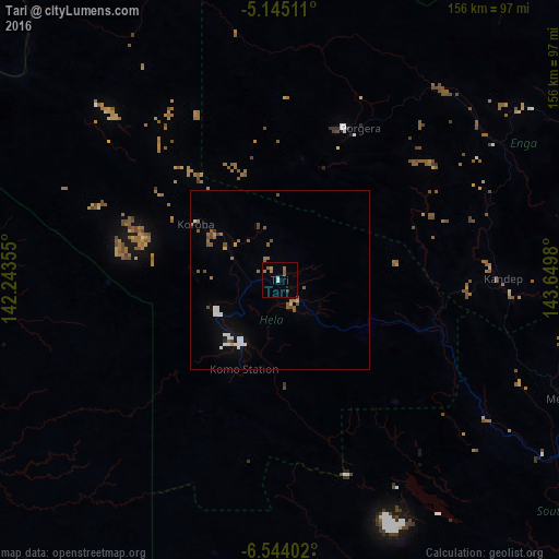
Map coordinates:
5° 8' 42.4" South, 142° 14' 36.8" East
5° 50' 42" South, 142° 56' 48" East
6° 32' 38.5" South, 143° 38' 59.3" East
Some cities around Tari sort by population:
• Mount Hagen
142 km =88.2 mi,  90°
90°
• Mendi
85.4 km =53.1 mi,  113°
113°
• Wewak
266.3 km =165.5 mi,  16°
16°
• Kiunga
185.7 km =115.4 mi,  260°
260°
• Kundiawa
224.5 km =139.5 mi, 94°
• Ialibu
125.5 km =78 mi, 112°
• Wabag
94.3 km =58.6 mi,  65°
65°
• Kurumul
186.3 km =115.8 mi, 90°
2085772 (p: 8,186)
Sources (retrieved 2019-11-25):
» Earth at Night: Flat Maps 2012, 2016