Wabag night lights from space
Night Light of Wabag (Enga) from space (Papua New Guinea) Src. Average luminocity for 10x10km area is 0% and for 50x50km: 0.5514%.
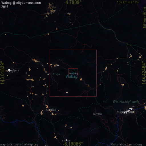
Analysis of Wabag night lights 2016
Square area 10x10 km:
 0%
0%90-99
0%80-89
0%70-79
0%60-69
0%50-59
0%40-49
0%30-39
0%20-29
0%10-19
0%0-9
100%Square area 50x50 km:
0.02%90-99
0.02%80-89
0.14%70-79
0.2%60-69
0.08%50-59
0.21%40-49
0.03%30-39
0%20-29
0%10-19
0%0-9
99.31%Clear (daylight) street map image can be seen on geolist.org.
Map coordinates:
4° 47' 27.2" South, 143° 1' 6.2" East
5° 29' 28.3" South, 143° 43' 17.4" East
6° 11' 26.4" South, 144° 25' 28.7" East
Some cities around Wabag sort by population:
• Mount Hagen
69.5 km =43.2 mi,  125°
125°
• Mendi
73.3 km =45.5 mi,  185°
185°
• Goroka
195.7 km =121.6 mi,  109°
109°
• Wewak
216.1 km =134.3 mi,  357°
357°
• Kundiawa
150 km =93.2 mi, 113°
• Tari
94.3 km =58.6 mi,  245°
245°
• Ialibu
92.9 km =57.7 mi,  161°
161°
• Kurumul
108.5 km =67.4 mi, 111°
2084246 (p: 3,958)
Sources (retrieved 2019-11-25):
» Earth at Night: Flat Maps 2012, 2016