Mount Hagen night lights from space
Night Light of Mount Hagen (Western Highlands) from space (Papua New Guinea) Src. Average luminocity for 10x10km area is 14.5888% and for 50x50km: 1.2416%.
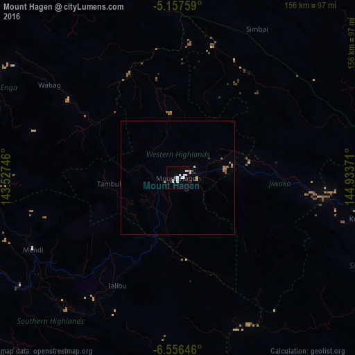

Analysis of Mount Hagen night lights 2016
Square area 10x10 km:
 5.79%
5.79%90-99
4.13%80-89
0%70-79
0%60-69
0%50-59
0%40-49
0.83%30-39
0.83%20-29
0%10-19
2.48%0-9
85.95%Square area 50x50 km:
0.29%90-99
0.23%80-89
0.09%70-79
0.1%60-69
0.16%50-59
0.15%40-49
0.07%30-39
0.03%20-29
0.07%10-19
0.12%0-9
98.68%Clear (daylight) street map image can be seen on geolist.org.
Map coordinates:
5° 9' 27.3" South, 143° 31' 38.9" East
5° 51' 26.9" South, 144° 13' 50.1" East
6° 33' 23.3" South, 144° 56' 1.4" East
Some cities around Mount Hagen sort by population:
• Madang
186.2 km =115.7 mi,  67°
67°
• Mendi
71.2 km =44.2 mi,  243°
243°
• Goroka
130.3 km =81 mi,  101°
101°
• Kundiawa
83.7 km =52 mi, 102°
• Tari
142 km =88.2 mi,  270°
270°
• Ialibu
54 km =33.6 mi,  209°
209°
• Wabag
69.5 km =43.2 mi,  305°
305°
• Kurumul
44.3 km =27.5 mi,  89°
89°
2090409 (p: 33,623)
Sources (retrieved 2019-11-25):
» Earth at Night: Flat Maps 2012, 2016