Daru night lights from space
Night Light of Daru (Western Province) from space (Papua New Guinea) Src. Average luminocity for 10x10km area is 0% and for 50x50km: 0.0001%.
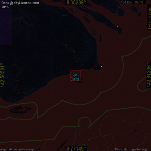
Analysis of Daru night lights 2016
Square area 10x10 km:
 0%
0%90-99
0%80-89
0%70-79
0%60-69
0%50-59
0%40-49
0%30-39
0%20-29
0%10-19
0%0-9
100%Square area 50x50 km:
0%90-99
0%80-89
0%70-79
0%60-69
0%50-59
0%40-49
0%30-39
0%20-29
0%10-19
0%0-9
100%Clear (daylight) street map image can be seen on geolist.org.
Map coordinates:
8° 22' 58.4" South, 142° 30' 20.9" East
9° 4' 40.3" South, 143° 12' 32.1" East
9° 46' 17.4" South, 143° 54' 43.4" East
Some cities around Daru sort by population:
• Mount Hagen
375.4 km =233.3 mi,  17°
17°
• Mendi
329.5 km =204.7 mi,  8°
8°
• Kiunga
390.8 km =242.8 mi,  327°
327°
• Kundiawa
391.5 km =243.3 mi,  29°
29°
• Tari
360.6 km =224.1 mi,  355°
355°
• Ialibu
322.7 km =200.5 mi, 15°
• Kerema
308.1 km =191.4 mi,  66°
66°
• Kurumul
391.1 km =243 mi, 23°
2098329 (p: 15,214)
Sources (retrieved 2019-11-25):
» Earth at Night: Flat Maps 2012, 2016