La Paz night lights from space
Night Light of La Paz from space (Bolivia) Src. Average luminocity for 10x10km area is 95.7562% and for 50x50km: 21.8153%.
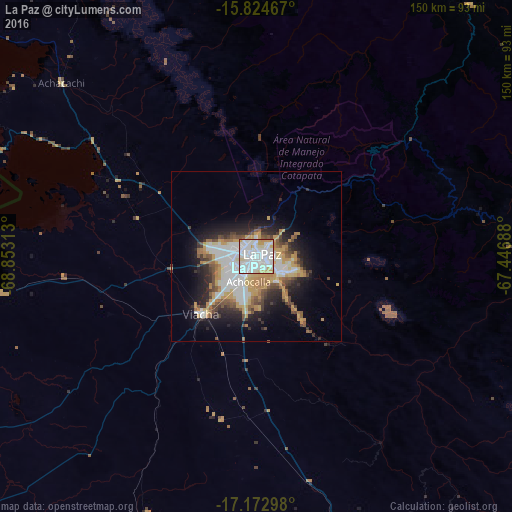
Analysis of La Paz night lights 2016
Square area 10x10 km:
 49.79%
90-99
33.88%80-89
6.2%70-79
9.92%60-69
0.21%50-59
0%40-49
0%30-39
0%20-29
0%10-19
0%0-9
0%Square area 50x50 km:
5.61%90-99
4.17%80-89
1.6%70-79
4.4%60-69
2.3%50-59
2.08%40-49
2.44%30-39
2.25%20-29
4.53%10-19
7.9%0-9
62.71%Clear (daylight) street map image can be seen on geolist.org.
Map coordinates:
15° 49' 28.8" South, 68° 51' 11.3" West
16° 30' 0" South, 68° 9' 0" West
17° 10' 22.7" South, 67° 26' 48.8" West
Some cities around La Paz sort by population:
• Yunguyo, PE
103.4 km =64.2 mi,  285°
285°
• Ilave, PE
168.4 km =104.6 mi, 285°
• Patacamaya
85.3 km =53 mi,  163°
163°
• Achacachi
75.8 km =47.1 mi,  311°
311°
• Putina, PE
178.2 km =110.7 mi, 309°
• Juli, PE
142.2 km =88.4 mi,  282°
282°
• Desaguadero, PE
95.3 km =59.2 mi,  265°
265°
• San Pedro
80.3 km =49.9 mi, 291°
3911925 (p: 812,799)
Sources (retrieved 2019-11-25):
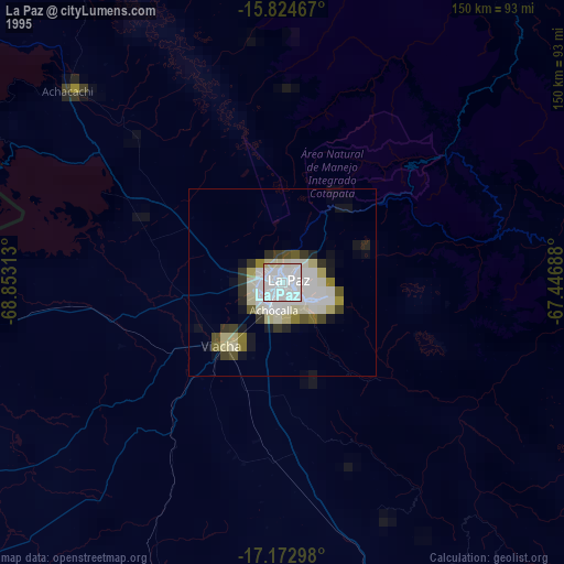
» NASA, Earths city lights 1995
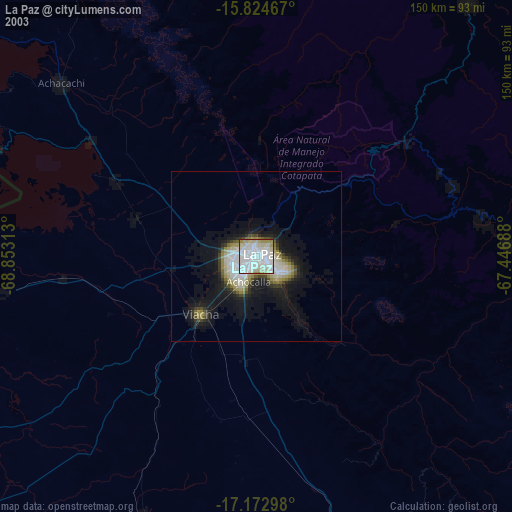
» NASA city lights 2003
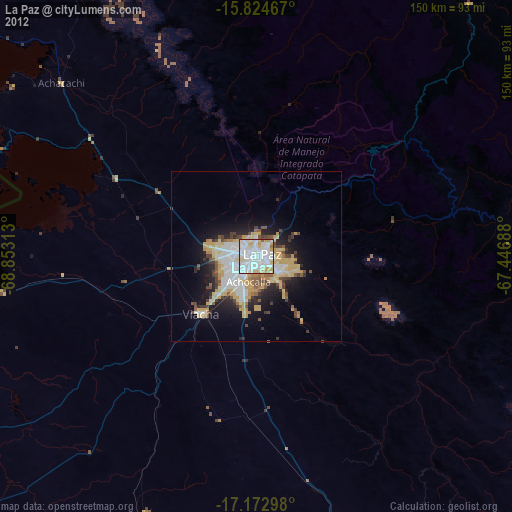
» Earth at Night: Flat Maps 2012, 2016