Puerto Santa night lights from space
Night Light of Puerto Santa (Ancash) from space (Peru) Src. Average luminocity for 10x10km area is 16.2489% and for 50x50km: 5.9093%.
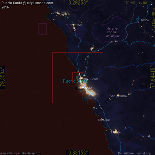
Analysis of Puerto Santa night lights 2016
Square area 10x10 km:
 0.65%
0.65%90-99
0.22%80-89
2.6%70-79
5.84%60-69
2.81%50-59
1.73%40-49
2.16%30-39
3.03%20-29
2.81%10-19
10.82%0-9
67.32%Square area 50x50 km:
0.71%90-99
0.85%80-89
1.02%70-79
0.87%60-69
0.52%50-59
0.53%40-49
0.6%30-39
1.15%20-29
2%10-19
4.8%0-9
86.97%Clear (daylight) street map image can be seen on geolist.org.
Map coordinates:
8° 17' 33.3" South, 79° 21' 1.4" West
8° 59' 15.8" South, 78° 38' 50.2" West
9° 40' 53.5" South, 77° 56' 38.9" West
Some cities around Puerto Santa sort by population:
• Chimbote
13.2 km =8.2 mi,  145°
145°
• Laredo
105.6 km =65.6 mi,  340°
340°
• Moche
99.1 km =61.6 mi, 336°
• Virú
64.7 km =40.2 mi,  349°
349°
• Coishco
5.3 km =3.3 mi,  138°
138°
• Carás
92.3 km =57.4 mi,  94°
94°
• Salaverry
92.6 km =57.5 mi, 336°
• Yungay
100.6 km =62.5 mi,  99°
99°
3693191 (p: 14,066)
Sources (retrieved 2019-11-25):
» Earth at Night: Flat Maps 2012, 2016