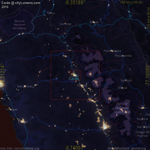
Carás night lights from space
Night Light of Carás (Ancash) from space (Peru) Src. Average luminocity for 10x10km area is 10.9675% and for 50x50km: 2.2751%.
Analysis of Carás night lights 2016
Square area 10x10 km:
 0.43%
0.43%90-99
0.43%80-89
2.6%70-79
2.6%60-69
1.73%50-59
0%40-49
1.95%30-39
4.11%20-29
0.87%10-19
0.87%0-9
84.42%Square area 50x50 km:
0.03%90-99
0.03%80-89
0.12%70-79
0.31%60-69
0.42%50-59
0.88%40-49
0.75%30-39
0.66%20-29
0.19%10-19
0.18%0-9
96.43%Clear (daylight) street map image can be seen on geolist.org.
Map coordinates:
8° 21' 6.8" South, 78° 30' 43.7" West
9° 2' 48.9" South, 77° 48' 32.4" West
9° 44' 26.2" South, 77° 6' 21.2" West
Some cities around Carás sort by population:
• Chimbote
84.6 km =52.6 mi,  267°
267°
• Huaraz
61.7 km =38.3 mi,  150°
150°
• Coishco
88.6 km =55.1 mi, 271°
• Puerto Santa
92.3 km =57.4 mi, 274°
• Yauya
56.3 km =35 mi,  82°
82°
• Santiago de Chuco
108.4 km =67.4 mi,  338°
338°
• Yungay
12.4 km =7.7 mi,  144°
144°
• Carhuaz
31.8 km =19.8 mi, 145°
3698841 (p: 10,926)
Sources (retrieved 2019-11-25):
» Earth at Night: Flat Maps 2012, 2016