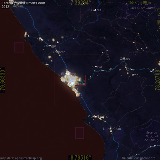
Laredo night lights from space
Night Light of Laredo (La Libertad) from space (Peru) Src. Average luminocity for 10x10km area is 42.8306% and for 50x50km: 10.0681%.
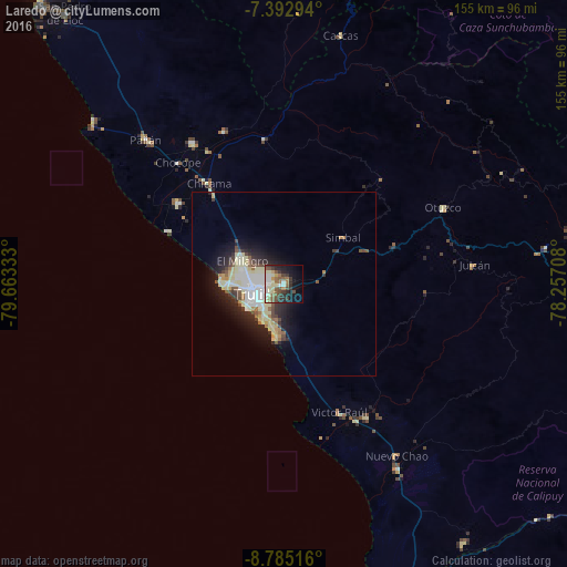
Analysis of Laredo night lights 2016
Square area 10x10 km:
 5.79%
5.79%90-99
6.61%80-89
9.5%70-79
2.89%60-69
6.2%50-59
8.88%40-49
6.2%30-39
9.3%20-29
7.64%10-19
17.36%0-9
19.63%Square area 50x50 km:
1.79%90-99
1.68%80-89
2.66%70-79
0.58%60-69
0.88%50-59
1%40-49
1.19%30-39
1.3%20-29
2.49%10-19
5.26%0-9
81.16%Clear (daylight) street map image can be seen on geolist.org.
Map coordinates:
7° 23' 34.6" South, 79° 39' 48" West
8° 5' 22.7" South, 78° 57' 36.7" West
8° 47' 6.6" South, 78° 15' 25.5" West
Some cities around Laredo sort by population:
• Trujillo
8.2 km =5.1 mi,  249°
249°
• Chocope
43.9 km =27.3 mi,  319°
319°
• Moche
10.5 km =6.5 mi,  210°
210°
• Santiago de Cao
34 km =21.1 mi,  295°
295°
• Virú
42.9 km =26.7 mi,  147°
147°
• Chicama
34.1 km =21.2 mi, 322°
• Ascope
44.8 km =27.8 mi,  338°
338°
• Salaverry
14.7 km =9.1 mi,  187°
187°
3695617 (p: 24,691)
Sources (retrieved 2019-11-25):
» Earth at Night: Flat Maps 2012, 2016