Coishco night lights from space
Night Light of Coishco (Ancash) from space (Peru) Src. Average luminocity for 10x10km area is 36.342% and for 50x50km: 5.9205%.
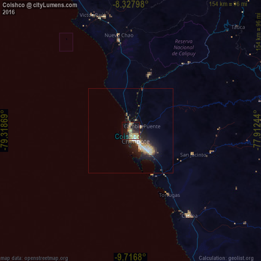
Analysis of Coishco night lights 2016
Square area 10x10 km:
 3.03%
3.03%90-99
1.73%80-89
9.09%70-79
10.61%60-69
4.11%50-59
2.81%40-49
3.9%30-39
9.74%20-29
6.28%10-19
32.25%0-9
16.45%Square area 50x50 km:
0.71%90-99
0.85%80-89
1.02%70-79
0.87%60-69
0.5%50-59
0.53%40-49
0.62%30-39
1.16%20-29
2%10-19
4.8%0-9
86.95%Clear (daylight) street map image can be seen on geolist.org.
Map coordinates:
8° 19' 40.7" South, 79° 19' 7.3" West
9° 1' 23" South, 78° 36' 56" West
9° 43' 0.5" South, 77° 54' 44.8" West
Some cities around Coishco sort by population:
• Chimbote
8 km =5 mi,  149°
149°
• Moche
104.1 km =64.7 mi,  335°
335°
• Virú
69.2 km =43 mi,  347°
347°
• Puerto Santa
5.3 km =3.3 mi,  318°
318°
• Carás
88.6 km =55.1 mi,  91°
91°
• Salaverry
97.6 km =60.6 mi, 335°
• Santiago de Chuco
109.5 km =68 mi,  26°
26°
• Yungay
96.6 km =60 mi,  97°
97°
3697990 (p: 15,083)
Sources (retrieved 2019-11-25):
» Earth at Night: Flat Maps 2012, 2016