Picsi night lights from space
Night Light of Picsi (Lambayeque) from space (Peru) Src. Average luminocity for 10x10km area is 20.7121% and for 50x50km: 13.0958%.
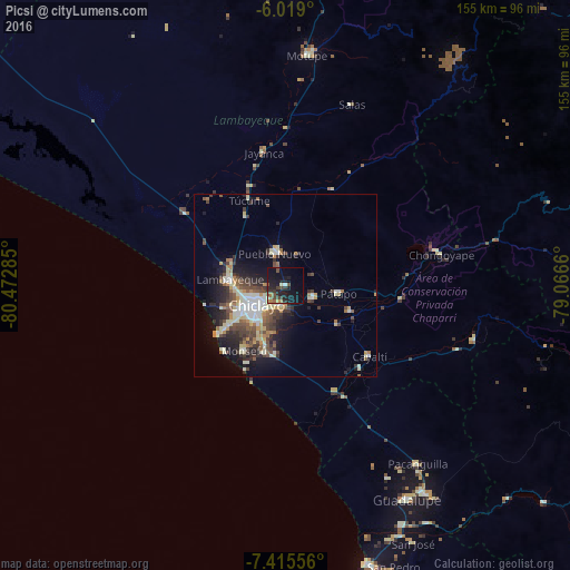
Analysis of Picsi night lights 2016
Square area 10x10 km:
 0.43%
0.43%90-99
1.95%80-89
1.08%70-79
0.87%60-69
3.03%50-59
3.25%40-49
6.49%30-39
4.33%20-29
9.52%10-19
30.74%0-9
38.31%Square area 50x50 km:
1.3%90-99
2.87%80-89
1.7%70-79
1.27%60-69
1.36%50-59
1.67%40-49
2.67%30-39
2.44%20-29
3.44%10-19
7.04%0-9
74.26%Clear (daylight) street map image can be seen on geolist.org.
Map coordinates:
6° 1' 8.4" South, 80° 28' 22.3" West
6° 43' 4" South, 79° 46' 11" West
7° 24' 56" South, 79° 3' 59.8" West
Some cities around Picsi sort by population:
• Chiclayo
9.9 km =6.2 mi,  232°
232°
• Lambayeque
15.2 km =9.4 mi,  277°
277°
• Ferreñafe
9 km =5.6 mi,  346°
346°
• Monsefú
20.6 km =12.8 mi,  212°
212°
• Santa Rosa
7.8 km =4.8 mi,  235°
235°
• Reque
17.3 km =10.7 mi,  197°
197°
• Mochumí
21.9 km =13.6 mi,  332°
332°
• San José
6.8 km =4.2 mi,  250°
250°
3693645 (p: 43,610)
Sources (retrieved 2019-11-25):
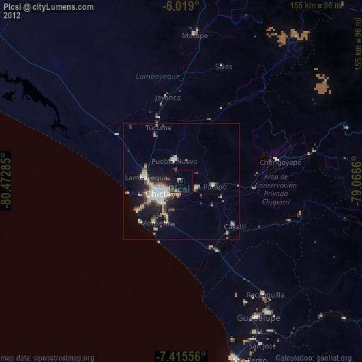
» Earth at Night: Flat Maps 2012, 2016