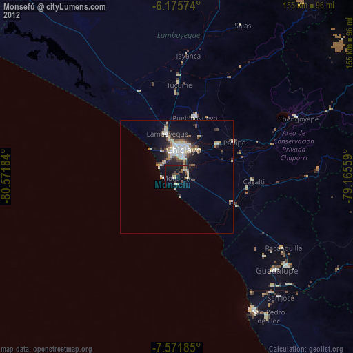
Monsefú night lights from space
Night Light of Monsefú (Lambayeque) from space (Peru) Src. Average luminocity for 10x10km area is 35.0216% and for 50x50km: 11.5748%.
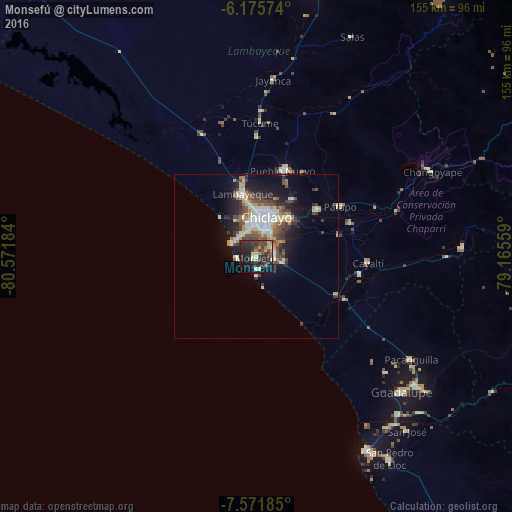
Analysis of Monsefú night lights 2016
Square area 10x10 km:
 0%
0%90-99
3.9%80-89
7.58%70-79
3.03%60-69
3.46%50-59
4.33%40-49
9.09%30-39
14.72%20-29
22.08%10-19
23.81%0-9
8.01%Square area 50x50 km:
1.22%90-99
2.5%80-89
1.5%70-79
1.2%60-69
1.12%50-59
1.44%40-49
2.43%30-39
2.26%20-29
3.24%10-19
6.7%0-9
76.4%Clear (daylight) street map image can be seen on geolist.org.
Map coordinates:
6° 10' 32.7" South, 80° 34' 18.6" West
6° 52' 27.5" South, 79° 52' 7.4" West
7° 34' 18.7" South, 79° 9' 56.1" West
Some cities around Monsefú sort by population:
• Chiclayo
11.9 km =7.4 mi,  15°
15°
• Lambayeque
19.7 km =12.2 mi,  347°
347°
• Picsi
20.6 km =12.8 mi,  32°
32°
• Pimentel
8.4 km =5.2 mi,  300°
300°
• Eten
3.8 km =2.4 mi,  172°
172°
• Santa Rosa
13.7 km =8.5 mi, 19°
• Reque
5.7 km =3.5 mi,  80°
80°
• San José
15.8 km =9.8 mi, 16°
3694666 (p: 25,707)
Sources (retrieved 2019-11-25):
» Earth at Night: Flat Maps 2012, 2016