Tambo Grande night lights from space
Night Light of Tambo Grande (Piura) from space (Peru) Src. Average luminocity for 10x10km area is 10.1963% and for 50x50km: 1.702%.
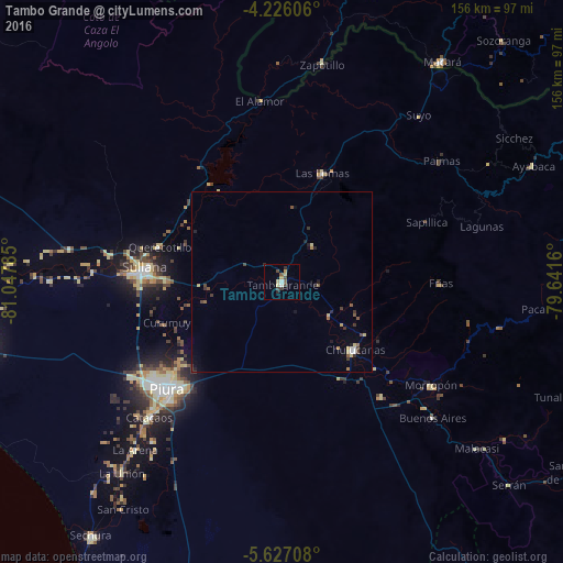
Analysis of Tambo Grande night lights 2016
Square area 10x10 km:
 0.83%
0.83%90-99
0.83%80-89
3.31%70-79
0.83%60-69
0%50-59
1.65%40-49
2.48%30-39
1.86%20-29
2.27%10-19
0%0-9
85.95%Square area 50x50 km:
0.11%90-99
0.09%80-89
0.39%70-79
0.15%60-69
0.09%50-59
0.33%40-49
0.35%30-39
0.43%20-29
0.3%10-19
0.32%0-9
97.45%Clear (daylight) street map image can be seen on geolist.org.
Map coordinates:
4° 13' 33.8" South, 81° 2' 52.3" West
4° 55' 37" South, 80° 20' 41" West
5° 37' 37.5" South, 79° 38' 29.8" West
Some cities around Tambo Grande sort by population:
• Piura
43.6 km =27.1 mi,  227°
227°
• Sullana
37.8 km =23.5 mi,  273°
273°
• Chulucanas
27.3 km =17 mi,  132°
132°
• Marcavelica
40.3 km =25 mi,  277°
277°
• Querecotillo
34.8 km =21.6 mi,  286°
286°
• Morropón
50.5 km =31.4 mi,  124°
124°
• Las Lomas
32.3 km =20.1 mi,  19°
19°
• Salitral
38.1 km =23.7 mi, 281°
3691530 (p: 30,033)
Sources (retrieved 2019-11-25):
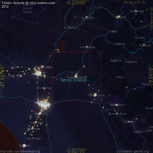
» Earth at Night: Flat Maps 2012, 2016