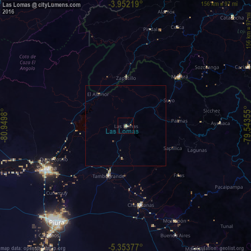
Las Lomas night lights from space
Night Light of Las Lomas (Piura) from space (Peru) Src. Average luminocity for 10x10km area is 5.4401% and for 50x50km: 0.4028%.
Analysis of Las Lomas night lights 2016
Square area 10x10 km:
 0.41%
0.41%90-99
0.41%80-89
1.65%70-79
1.65%60-69
0%50-59
0%40-49
1.03%30-39
1.45%20-29
0.83%10-19
0.83%0-9
91.74%Square area 50x50 km:
0.02%90-99
0.02%80-89
0.1%70-79
0.1%60-69
0.03%50-59
0.02%40-49
0.09%30-39
0.1%20-29
0.1%10-19
0.11%0-9
99.31%Clear (daylight) street map image can be seen on geolist.org.
Map coordinates:
3° 57' 7.9" South, 80° 56' 59.3" West
4° 39' 12" South, 80° 14' 48" West
5° 21' 13.6" South, 79° 32' 36.8" West
Some cities around Las Lomas sort by population:
• Sullana
56 km =34.8 mi,  240°
240°
• Chulucanas
49.7 km =30.9 mi,  169°
169°
• Tambo Grande
32.3 km =20.1 mi,  199°
199°
• Marcavelica
56.6 km =35.2 mi, 243°
• Querecotillo
48.7 km =30.3 mi,  245°
245°
• Macará, EC
45.2 km =28.1 mi,  48°
48°
• Salitral
53.2 km =33.1 mi, 244°
• Ayabaca
59 km =36.7 mi,  88°
88°
3695552 (p: 9,450)
Sources (retrieved 2019-11-25):
» Earth at Night: Flat Maps 2012, 2016