Sullana night lights from space
Night Light of Sullana (Piura) from space (Peru) Src. Average luminocity for 10x10km area is 56.3223% and for 50x50km: 6.5157%.
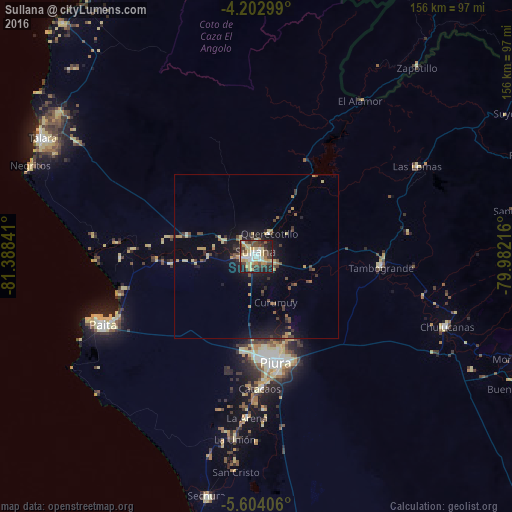
Analysis of Sullana night lights 2016
Square area 10x10 km:
 8.26%
8.26%90-99
8.88%80-89
17.98%70-79
5.17%60-69
4.96%50-59
3.72%40-49
13.02%30-39
11.78%20-29
15.08%10-19
11.16%0-9
0%Square area 50x50 km:
0.35%90-99
0.48%80-89
1.51%70-79
0.69%60-69
0.53%50-59
0.76%40-49
1.4%30-39
1.28%20-29
1.68%10-19
5.27%0-9
86.04%Clear (daylight) street map image can be seen on geolist.org.
Map coordinates:
4° 12' 10.8" South, 81° 23' 18.3" West
4° 54' 14" South, 80° 41' 7" West
5° 36' 14.6" South, 79° 58' 55.8" West
Some cities around Sullana sort by population:
• Piura
32.8 km =20.4 mi,  169°
169°
• Catacaos
40.3 km =25 mi,  179°
179°
• Tambo Grande
37.8 km =23.5 mi,  93°
93°
• Marcavelica
3.7 km =2.3 mi,  322°
322°
• Querecotillo
8.6 km =5.3 mi,  30°
30°
• Salinera Colán
44.6 km =27.7 mi,  251°
251°
• La Huaca
30.4 km =18.9 mi,  268°
268°
• Salitral
5.2 km =3.2 mi,  5°
5°
3691674 (p: 160,789)
Sources (retrieved 2019-11-25):
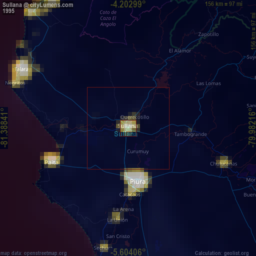
» NASA, Earths city lights 1995
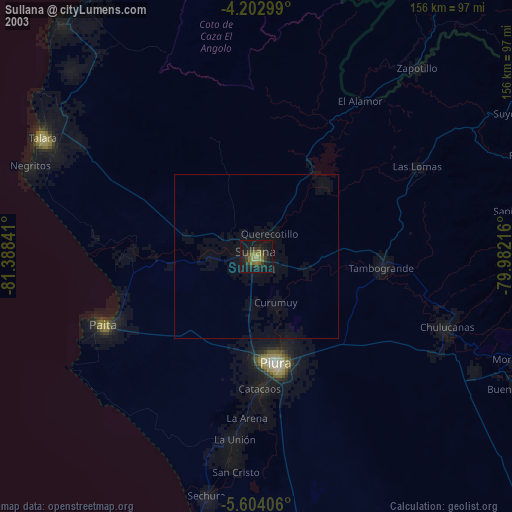
» NASA city lights 2003
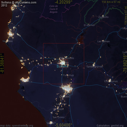
» Earth at Night: Flat Maps 2012, 2016