Catacaos night lights from space
Night Light of Catacaos (Piura) from space (Peru) Src. Average luminocity for 10x10km area is 36.9442% and for 50x50km: 10.5618%.
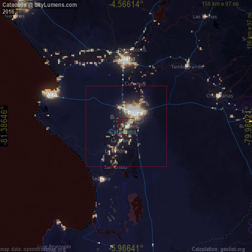
Analysis of Catacaos night lights 2016
Square area 10x10 km:
 1.45%
1.45%90-99
2.27%80-89
9.71%70-79
4.34%60-69
9.3%50-59
4.34%40-49
3.72%30-39
6.4%20-29
14.88%10-19
40.7%0-9
2.89%Square area 50x50 km:
1.11%90-99
1.29%80-89
2.03%70-79
1.2%60-69
1.36%50-59
1.13%40-49
1.55%30-39
2.13%20-29
3.28%10-19
7.55%0-9
77.36%Clear (daylight) street map image can be seen on geolist.org.
Map coordinates:
4° 33' 58.1" South, 81° 23' 11.3" West
5° 16' 0" South, 80° 40' 60" West
5° 57' 59.1" South, 79° 58' 48.8" West
Some cities around Catacaos sort by population:
• Piura
9.8 km =6.1 mi,  34°
34°
• Sullana
40.3 km =25 mi,  359°
359°
• La Unión
16.4 km =10.2 mi,  203°
203°
• Marcavelica
43.3 km =26.9 mi, 356°
• Sechura
35.7 km =22.2 mi,  205°
205°
• Vice
20 km =12.4 mi, 213°
• Bernal
21.7 km =13.5 mi, 199°
• Salitral
45.5 km =28.3 mi,  0°
0°
3698658 (p: 57,304)
Sources (retrieved 2019-11-25):
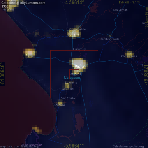
» NASA, Earths city lights 1995
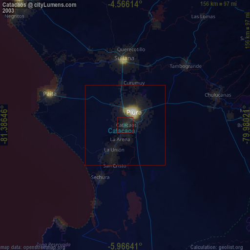
» NASA city lights 2003
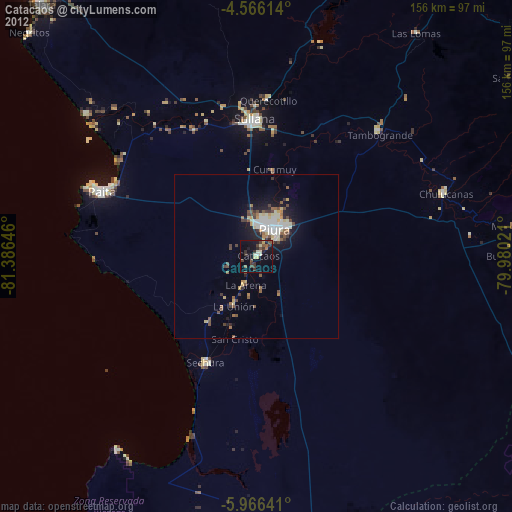
» Earth at Night: Flat Maps 2012, 2016