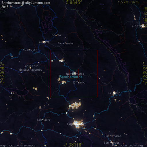
Bambamarca night lights from space
Night Light of Bambamarca (Cajamarca) from space (Peru) Src. Average luminocity for 10x10km area is 5.2424% and for 50x50km: 1.3554%.
Analysis of Bambamarca night lights 2016
Square area 10x10 km:
 0.43%
0.43%90-99
0.43%80-89
0%70-79
0%60-69
1.73%50-59
1.3%40-49
1.08%30-39
3.46%20-29
0.43%10-19
0.65%0-9
90.48%Square area 50x50 km:
0.09%90-99
0.22%80-89
0.18%70-79
0.16%60-69
0.16%50-59
0.2%40-49
0.22%30-39
0.35%20-29
0.19%10-19
0.15%0-9
98.07%Clear (daylight) street map image can be seen on geolist.org.
Map coordinates:
5° 59' 4.2" South, 79° 14' 11.3" West
6° 40' 60" South, 78° 31' 60" West
7° 22' 52.2" South, 77° 49' 48.8" West
Some cities around Bambamarca sort by population:
• Cajamarca
53.5 km =33.2 mi,  176°
176°
• Bagua Grande
103.6 km =64.4 mi,  5°
5°
• Chachapoyas
88.9 km =55.2 mi,  55°
55°
• Chongoyape
94.6 km =58.8 mi,  272°
272°
• Celendín
47.4 km =29.5 mi,  115°
115°
• Chota
19.6 km =12.2 mi,  319°
319°
• Cajaruro
106 km =65.9 mi, 6°
• Oyotún
86.6 km =53.8 mi,  258°
258°
3699456 (p: 13,351)
Sources (retrieved 2019-11-25):
» Earth at Night: Flat Maps 2012, 2016