Chachapoyas night lights from space
Night Light of Chachapoyas (Amazonas) from space (Peru) Src. Average luminocity for 10x10km area is 10.8571% and for 50x50km: 0.6132%.
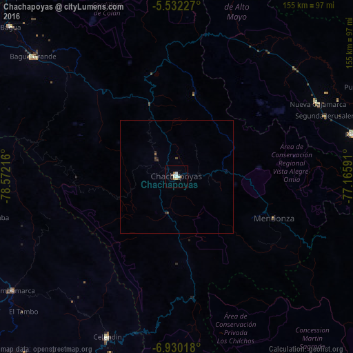
Analysis of Chachapoyas night lights 2016
Square area 10x10 km:
 1.95%
1.95%90-99
3.25%80-89
0%70-79
0.87%60-69
1.73%50-59
1.52%40-49
0.22%30-39
2.38%20-29
0.22%10-19
0.87%0-9
87.01%Square area 50x50 km:
0.08%90-99
0.13%80-89
0%70-79
0.03%60-69
0.1%50-59
0.08%40-49
0.13%30-39
0.2%20-29
0.03%10-19
0.11%0-9
99.1%Clear (daylight) street map image can be seen on geolist.org.
Map coordinates:
5° 31' 56.2" South, 78° 34' 19.8" West
6° 13' 54.1" South, 77° 52' 8.5" West
6° 55' 48.6" South, 77° 9' 57.3" West
Some cities around Chachapoyas sort by population:
• La Peca
93.2 km =57.9 mi,  317°
317°
• Rioja
80.1 km =49.8 mi,  75°
75°
• Bagua Grande
82.5 km =51.3 mi,  309°
309°
• Celendín
76.9 km =47.8 mi,  203°
203°
• Chota
93.3 km =58 mi,  247°
247°
• Bambamarca
88.9 km =55.2 mi,  235°
235°
• Soritor
85.2 km =52.9 mi, 83°
• Cajaruro
82.6 km =51.3 mi, 311°
3698540 (p: 20,279)
Sources (retrieved 2019-11-25):
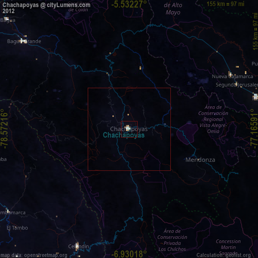
» Earth at Night: Flat Maps 2012, 2016