Cajamarca night lights from space
Night Light of Cajamarca from space (Peru) Src. Average luminocity for 10x10km area is 53.1797% and for 50x50km: 5.9571%.
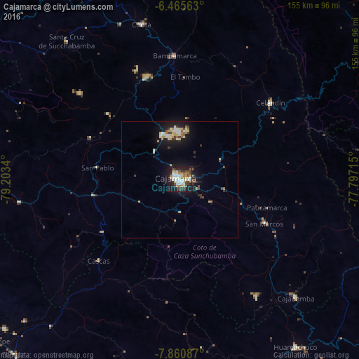

Analysis of Cajamarca night lights 2016
Square area 10x10 km:
 9.74%
9.74%90-99
15.37%80-89
5.84%70-79
8.01%60-69
4.33%50-59
4.11%40-49
8.23%30-39
8.44%20-29
9.96%10-19
24.68%0-9
1.3%Square area 50x50 km:
0.56%90-99
1.24%80-89
0.78%70-79
0.76%60-69
0.66%50-59
0.48%40-49
0.67%30-39
1%20-29
0.95%10-19
5.97%0-9
86.92%Clear (daylight) street map image can be seen on geolist.org.
Map coordinates:
6° 27' 56.3" South, 79° 12' 12.2" West
7° 9' 49.6" South, 78° 30' 1" West
7° 51' 39.1" South, 77° 47' 49.7" West
Some cities around Cajamarca sort by population:
• Huamachuco
85.4 km =53.1 mi,  145°
145°
• Celendín
51.3 km =31.9 mi,  49°
49°
• Chota
70.2 km =43.6 mi,  346°
346°
• Ascope
90.7 km =56.4 mi,  227°
227°
• Cajabamba
70.7 km =43.9 mi,  135°
135°
• Bambamarca
53.5 km =33.2 mi,  356°
356°
• Otuzco
82.4 km =51.2 mi,  186°
186°
• Quiruvilca
95.2 km =59.2 mi,  159°
159°
3699088 (p: 135,000)
Sources (retrieved 2019-11-25):
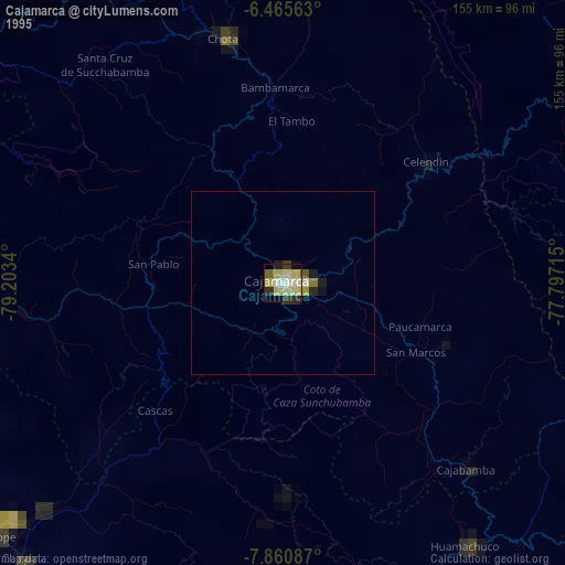
» NASA, Earths city lights 1995
» NASA city lights 2003
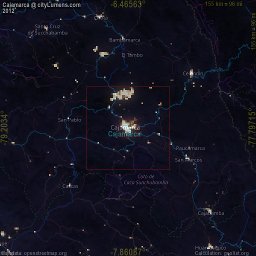
» Earth at Night: Flat Maps 2012, 2016