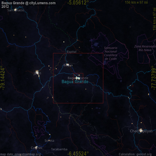
Bagua Grande night lights from space
Night Light of Bagua Grande (Amazonas) from space (Peru) Src. Average luminocity for 10x10km area is 11.5269% and for 50x50km: 0.9435%.
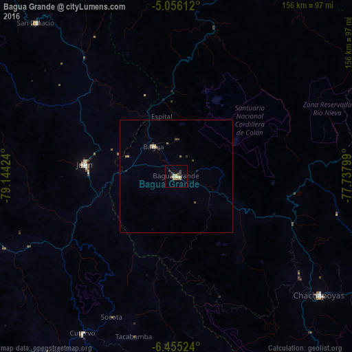
Analysis of Bagua Grande night lights 2016
Square area 10x10 km:
 0%
0%90-99
0.41%80-89
4.55%70-79
1.65%60-69
0.83%50-59
1.65%40-49
1.65%30-39
2.89%20-29
1.86%10-19
1.03%0-9
83.47%Square area 50x50 km:
0.03%90-99
0.03%80-89
0.32%70-79
0.15%60-69
0.05%50-59
0.15%40-49
0.15%30-39
0.26%20-29
0.2%10-19
0.06%0-9
98.61%Clear (daylight) street map image can be seen on geolist.org.
Map coordinates:
5° 3' 22" South, 79° 8' 39.3" West
5° 45' 22" South, 78° 26' 28" West
6° 27' 18.9" South, 77° 44' 16.8" West
Some cities around Bagua Grande sort by population:
• Jaén
40.9 km =25.4 mi,  277°
277°
• La Peca
16.1 km =10 mi,  2°
2°
• Chachapoyas
82.5 km =51.3 mi,  129°
129°
• Chota
91.2 km =56.7 mi,  194°
194°
• Bambamarca
103.6 km =64.4 mi, 185°
• San Ignacio
91.9 km =57.1 mi,  317°
317°
• Cajaruro
2.8 km =1.7 mi,  38°
38°
• Bellavista
28.1 km =17.5 mi,  291°
291°
3699484 (p: 20,382)
Sources (retrieved 2019-11-25):
» Earth at Night: Flat Maps 2012, 2016