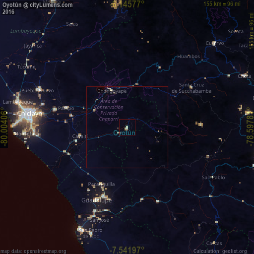
Oyotún night lights from space
Night Light of Oyotún (Lambayeque) from space (Peru) Src. Average luminocity for 10x10km area is 5.1017% and for 50x50km: 0.7467%.
Analysis of Oyotún night lights 2016
Square area 10x10 km:
 0%
0%90-99
0.43%80-89
3.03%70-79
0%60-69
0.87%50-59
0.87%40-49
0%30-39
0%20-29
1.08%10-19
0.65%0-9
93.07%Square area 50x50 km:
0%90-99
0.08%80-89
0.2%70-79
0.07%60-69
0.05%50-59
0.13%40-49
0.04%30-39
0.41%20-29
0.29%10-19
0.13%0-9
98.6%Clear (daylight) street map image can be seen on geolist.org.
Map coordinates:
6° 8' 44.8" South, 80° 0' 14.6" West
6° 50' 39.8" South, 79° 18' 3.3" West
7° 32' 31.1" South, 78° 35' 52.1" West
Some cities around Oyotún sort by population:
• Picsi
53.6 km =33.3 mi,  285°
285°
• Chepén
44.4 km =27.6 mi,  197°
197°
• Saña
32.1 km =19.9 mi,  255°
255°
• Guadalupe
49.4 km =30.7 mi, 204°
• Chongoyape
24.7 km =15.3 mi,  336°
336°
• Reque
57.1 km =35.5 mi,  267°
267°
• Pacanga
42 km =26.1 mi,  211°
211°
• Pueblo Nuevo
44.9 km =27.9 mi, 211°
3694197 (p: 6,330)
Sources (retrieved 2019-11-25):
» Earth at Night: Flat Maps 2012, 2016