Ayacucho night lights from space
Night Light of Ayacucho from space (Peru) Src. Average luminocity for 10x10km area is 48.342% and for 50x50km: 2.9432%.
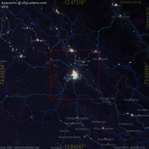
Analysis of Ayacucho night lights 2016
Square area 10x10 km:
 14.07%
90-99
11.9%80-89
2.6%70-79
7.58%60-69
4.33%50-59
1.08%40-49
5.41%30-39
2.6%20-29
7.79%10-19
39.83%0-9
2.81%Square area 50x50 km:
0.59%90-99
0.51%80-89
0.1%70-79
0.41%60-69
0.42%50-59
0.17%40-49
0.3%30-39
0.28%20-29
0.49%10-19
2.78%0-9
93.95%Clear (daylight) street map image can be seen on geolist.org.
Map coordinates:
12° 28' 23.4" South, 74° 55' 34.8" West
13° 9' 31.6" South, 74° 13' 23.6" West
13° 50' 32.9" South, 73° 31' 12.3" West
Some cities around Ayacucho sort by population:
• Abancay
154.5 km =96 mi,  110°
110°
• Huancavelica
91.3 km =56.7 mi,  297°
297°
• Huanta
25.2 km =15.7 mi,  353°
353°
• Andahuaylas
106 km =65.9 mi,  121°
121°
• San Miguel
30.9 km =19.2 mi,  58°
58°
• Talavera
102 km =63.4 mi, 122°
• San Jerónimo
107.9 km =67 mi, 120°
• Pampas
109.9 km =68.3 mi,  320°
320°
3947019 (p: 140,033)
Sources (retrieved 2019-11-25):
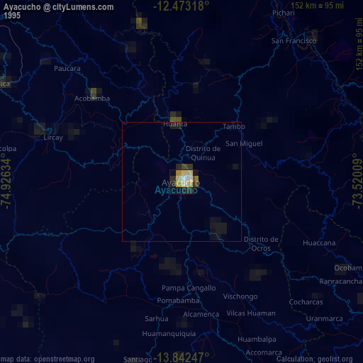
» NASA, Earths city lights 1995
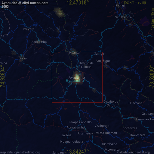
» NASA city lights 2003
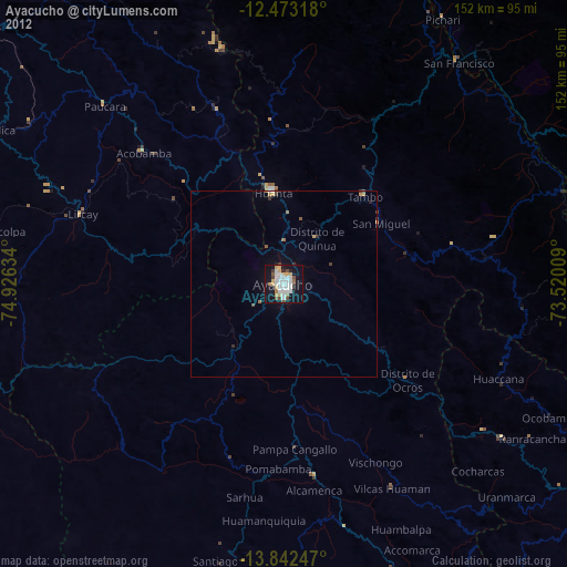
» Earth at Night: Flat Maps 2012, 2016