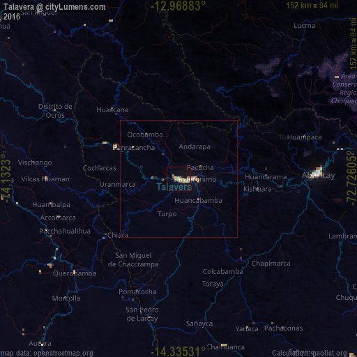
Talavera night lights from space
Night Light of Talavera (Apurímac) from space (Peru) Src. Average luminocity for 10x10km area is 17.0847% and for 50x50km: 1.2152%.
Analysis of Talavera night lights 2016
Square area 10x10 km:
 0.62%
0.62%90-99
0.83%80-89
6.61%70-79
2.27%60-69
3.51%50-59
1.24%40-49
1.03%30-39
0.41%20-29
1.24%10-19
9.09%0-9
73.14%Square area 50x50 km:
0.07%90-99
0.07%80-89
0.26%70-79
0.17%60-69
0.35%50-59
0.15%40-49
0.05%30-39
0.02%20-29
0.14%10-19
0.52%0-9
98.19%Clear (daylight) street map image can be seen on geolist.org.
Map coordinates:
12° 58' 7.8" South, 74° 7' 56.3" West
13° 39' 11" South, 73° 25' 45" West
14° 20' 7.1" South, 72° 43' 33.8" West
Some cities around Talavera sort by population:
• Ayacucho
102 km =63.4 mi,  302°
302°
• Abancay
59.2 km =36.8 mi,  87°
87°
• Santa Ana
116.6 km =72.5 mi,  41°
41°
• Huanta
119.6 km =74.3 mi,  312°
312°
• Andahuaylas
4.5 km =2.8 mi, 93°
• San Miguel
92.9 km =57.7 mi,  320°
320°
• San Jerónimo
7.1 km =4.4 mi, 88°
• Tambo
138.1 km =85.8 mi,  202°
202°
3928043 (p: 7,381)
Sources (retrieved 2019-11-25):
» Earth at Night: Flat Maps 2012, 2016