San Jerónimo night lights from space
Night Light of San Jerónimo (Apurímac) from space (Peru) Src. Average luminocity for 10x10km area is 15.5083% and for 50x50km: 1.1787%.
Analysis of San Jerónimo night lights 2016
Square area 10x10 km:
 1.86%
1.86%90-99
1.45%80-89
2.48%70-79
2.89%60-69
3.93%50-59
1.86%40-49
0.41%30-39
0%20-29
0.41%10-19
7.85%0-9
76.86%Square area 50x50 km:
0.07%90-99
0.07%80-89
0.26%70-79
0.17%60-69
0.31%50-59
0.15%40-49
0.05%30-39
0.02%20-29
0.14%10-19
0.49%0-9
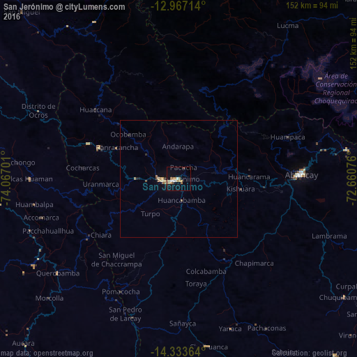
98.26%Clear (daylight) street map image can be seen on geolist.org.
Map coordinates:
12° 58' 1.7" South, 74° 4' 1.2" West
13° 39' 5" South, 73° 21' 50" West
14° 20' 1.1" South, 72° 39' 38.7" West
Some cities around San Jerónimo sort by population:
• Ayacucho
107.9 km =67 mi,  300°
300°
• Abancay
52.2 km =32.4 mi,  87°
87°
• Santa Ana
111.9 km =69.5 mi,  38°
38°
• Huanta
124.8 km =77.5 mi,  309°
309°
• Andahuaylas
2.6 km =1.6 mi,  259°
259°
• San Miguel
97.5 km =60.6 mi,  316°
316°
• Talavera
7.1 km =4.4 mi,  268°
268°
• Anta
132.9 km =82.6 mi,  81°
81°
3929607 (p: 5,609)
Sources (retrieved 2019-11-25):
» Earth at Night: Flat Maps 2012, 2016