Huancavelica night lights from space
Night Light of Huancavelica from space (Peru) Src. Average luminocity for 10x10km area is 14.8788% and for 50x50km: 1.096%.
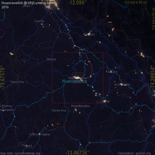
Analysis of Huancavelica night lights 2016
Square area 10x10 km:
 1.52%
1.52%90-99
2.81%80-89
0%70-79
2.38%60-69
2.81%50-59
1.73%40-49
3.9%30-39
1.95%20-29
3.25%10-19
0.22%0-9
79.44%Square area 50x50 km:
0.06%90-99
0.11%80-89
0%70-79
0.24%60-69
0.26%50-59
0.18%40-49
0.31%30-39
0.22%20-29
0.18%10-19
0.08%0-9
98.36%Clear (daylight) street map image can be seen on geolist.org.
Map coordinates:
12° 5' 45.6" South, 75° 40' 32.8" West
12° 46' 57.4" South, 74° 58' 21.6" West
13° 28' 2.5" South, 74° 16' 10.3" West
Some cities around Huancavelica sort by population:
• Ayacucho
91.3 km =56.7 mi,  117°
117°
• Huanta
80.1 km =49.8 mi,  102°
102°
• Chupaca
86.5 km =53.7 mi,  337°
337°
• Pilcomay
87.1 km =54.1 mi, 339°
• Sicaya
89.9 km =55.9 mi, 337°
• San Agustin
95.2 km =59.2 mi, 341°
• Huayucachi
77.5 km =48.2 mi, 338°
• Pampas
44.6 km =27.7 mi,  14°
14°
3939470 (p: 41,576)
Sources (retrieved 2019-11-25):
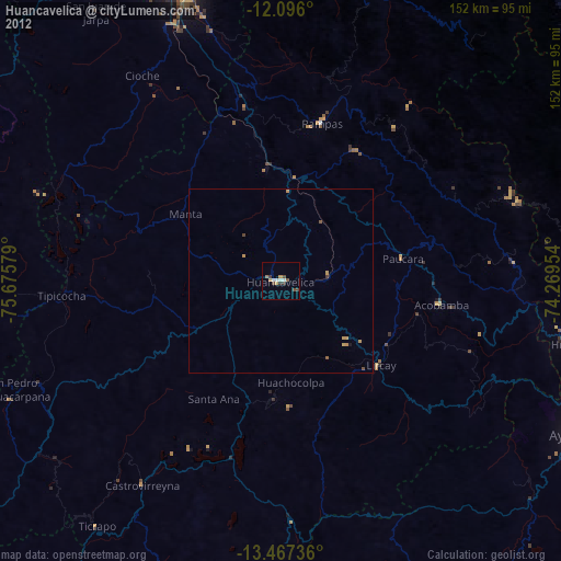
» Earth at Night: Flat Maps 2012, 2016