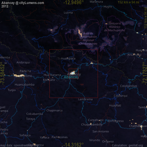
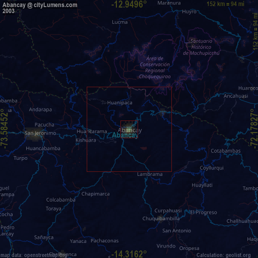
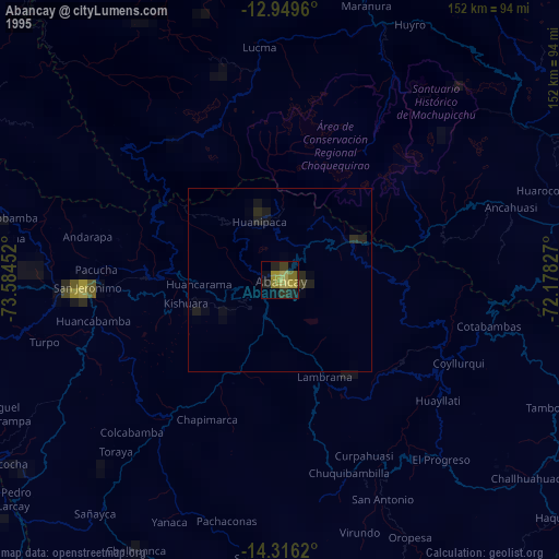
Abancay night lights from space
Night Light of Abancay (Apurímac) from space (Peru) Src. Average luminocity for 10x10km area is 18.7293% and for 50x50km: 1.0738%.
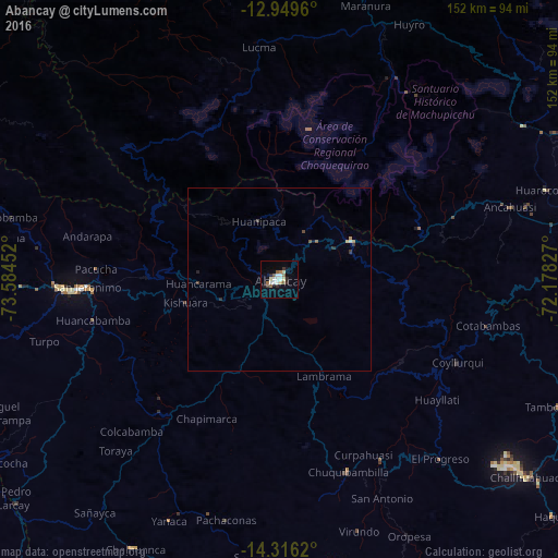
Analysis of Abancay night lights 2016
Square area 10x10 km:
 3.31%
3.31%90-99
4.34%80-89
1.45%70-79
0.83%60-69
2.48%50-59
3.31%40-49
0.62%30-39
1.03%20-29
3.51%10-19
5.58%0-9
73.55%Square area 50x50 km:
0.13%90-99
0.21%80-89
0.07%70-79
0.1%60-69
0.12%50-59
0.2%40-49
0.07%30-39
0.17%20-29
0.23%10-19
0.26%0-9
98.45%Clear (daylight) street map image can be seen on geolist.org.
Map coordinates:
12° 56' 58.6" South, 73° 35' 4.3" West
13° 38' 2" South, 72° 52' 53" West
14° 18' 58.3" South, 72° 10' 41.8" West
Some cities around Abancay sort by population:
• Cusco
99.6 km =61.9 mi,  82°
82°
• Santa Ana
87.1 km =54.1 mi,  11°
11°
• Andahuaylas
54.7 km =34 mi,  267°
267°
• Calca
106.1 km =65.9 mi,  71°
71°
• Urubamba
90.5 km =56.2 mi, 66°
• Talavera
59.2 km =36.8 mi, 267°
• Anta
81.3 km =50.5 mi, 77°
• San Jerónimo
52.2 km =32.4 mi, 267°
3948642 (p: 55,111)
Sources (retrieved 2019-11-25):
» NASA, Earths city lights 1995
» NASA city lights 2003
» Earth at Night: Flat Maps 2012, 2016