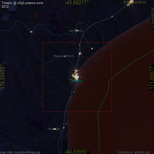
Timaru night lights from space
Night Light of Timaru (Canterbury) from space (New Zealand) Src. Average luminocity for 10x10km area is 22.1127% and for 50x50km: 1.0817%.
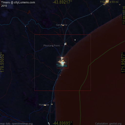
Analysis of Timaru night lights 2016
Square area 10x10 km:
 1.9%
1.9%90-99
4.44%80-89
3.49%70-79
0.95%60-69
4.76%50-59
1.9%40-49
2.38%30-39
3.17%20-29
4.76%10-19
17.78%0-9
54.44%Square area 50x50 km:
0.08%90-99
0.24%80-89
0.14%70-79
0.04%60-69
0.18%50-59
0.07%40-49
0.12%30-39
0.22%20-29
0.26%10-19
0.71%0-9
97.95%Clear (daylight) street map image can be seen on geolist.org.
Map coordinates:
43° 53' 31.8" South, 170° 33' 1.9" East
44° 23' 48.2" South, 171° 15' 13.1" East
44° 53' 49" South, 171° 57' 24.4" East
Some cities around Timaru sort by population:
• Christchurch
146.3 km =90.9 mi,  48°
48°
• Dunedin
174.5 km =108.4 mi,  199°
199°
• Ashburton
67.2 km =41.8 mi,  34°
34°
• Oamaru
81.1 km =50.4 mi, 195°
• Queenstown
216.5 km =134.5 mi,  251°
251°
• Kaiapoi
158.6 km =98.5 mi,  44°
44°
• Greymouth
214.6 km =133.3 mi,  358°
358°
• Cromwell
177.2 km =110.1 mi, 246°
2181133 (p: 28,007)
Sources (retrieved 2019-11-25):
» Earth at Night: Flat Maps 2012, 2016