Ashburton night lights from space
Night Light of Ashburton (Canterbury) from space (New Zealand) Src. Average luminocity for 10x10km area is 11.3095% and for 50x50km: 0.5518%.
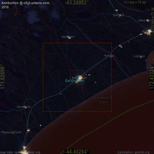
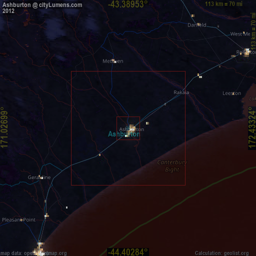
Analysis of Ashburton night lights 2016
Square area 10x10 km:
 0.48%
0.48%90-99
0.79%80-89
0.95%70-79
1.43%60-69
4.6%50-59
1.43%40-49
1.75%30-39
3.02%20-29
0.95%10-19
2.22%0-9
82.38%Square area 50x50 km:
0.02%90-99
0.03%80-89
0.04%70-79
0.06%60-69
0.21%50-59
0.06%40-49
0.07%30-39
0.24%20-29
0.04%10-19
0.13%0-9
99.11%Clear (daylight) street map image can be seen on geolist.org.
Map coordinates:
43° 23' 22.3" South, 171° 1' 37.2" East
43° 53' 54" South, 171° 43' 48.4" East
44° 24' 10.2" South, 172° 25' 59.7" East
Some cities around Ashburton sort by population:
• Christchurch
83.2 km =51.7 mi,  60°
60°
• Dunedin
240 km =149.1 mi,  203°
203°
• Timaru
67.2 km =41.8 mi,  214°
214°
• Oamaru
146.3 km =90.9 mi, 204°
• Queenstown
274 km =170.3 mi,  242°
242°
• Kaiapoi
93.3 km =58 mi,  51°
51°
• Greymouth
164.9 km =102.5 mi,  344°
344°
• Cromwell
237.4 km =147.5 mi, 237°
6217081 (p: 30,100)
Sources (retrieved 2019-11-25):
» Earth at Night: Flat Maps 2012, 2016