Cromwell night lights from space
Night Light of Cromwell (Otago) from space (New Zealand) Src. Average luminocity for 10x10km area is 2.3712% and for 50x50km: 0.1453%.
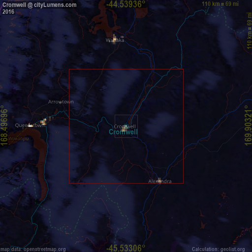
Analysis of Cromwell night lights 2016
Square area 10x10 km:
 0%
0%90-99
0%80-89
0%70-79
0%60-69
0%50-59
1.52%40-49
0.91%30-39
1.21%20-29
1.82%10-19
0.61%0-9
93.94%Square area 50x50 km:
0%90-99
0%80-89
0%70-79
0%60-69
0%50-59
0.08%40-49
0.07%30-39
0.05%20-29
0.15%10-19
0.05%0-9
99.6%Clear (daylight) street map image can be seen on geolist.org.
Map coordinates:
44° 32' 21.7" South, 168° 29' 49.1" East
45° 2' 18.1" South, 169° 12' 0.3" East
45° 31' 59" South, 169° 54' 11.6" East
Some cities around Cromwell sort by population:
• Dunedin
137.7 km =85.6 mi,  132°
132°
• Invercargill
165.2 km =102.7 mi,  203°
203°
• Ashburton
237.4 km =147.5 mi,  57°
57°
• Timaru
177.2 km =110.1 mi,  66°
66°
• Oamaru
139.2 km =86.5 mi,  92°
92°
• Gore
120 km =74.6 mi,  189°
189°
• Queenstown
42.2 km =26.2 mi,  271°
271°
• Papatowai
170.6 km =106 mi,  172°
172°
6207775 (p: 5,160)
Sources (retrieved 2019-11-25):
» Earth at Night: Flat Maps 2012, 2016