Queenstown night lights from space
Night Light of Queenstown (Otago) from space (New Zealand) Src. Average luminocity for 10x10km area is 3.0762% and for 50x50km: 0.2639%.
Analysis of Queenstown night lights 2016
Square area 10x10 km:
 0.48%
0.48%90-99
0.79%80-89
0%70-79
0%60-69
0.63%50-59
0%40-49
0.32%30-39
0.63%20-29
1.11%10-19
0.79%0-9
95.24%Square area 50x50 km:
0.02%90-99
0.03%80-89
0.04%70-79
0.01%60-69
0.05%50-59
0.02%40-49
0.08%30-39
0.04%20-29
0.12%10-19
0.07%0-9
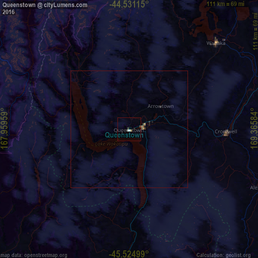
99.52%Clear (daylight) street map image can be seen on geolist.org.
Map coordinates:
44° 31' 52.1" South, 167° 57' 34.5" East
45° 1' 48.8" South, 168° 39' 45.8" East
45° 31' 30" South, 169° 21' 57" East
Some cities around Queenstown sort by population:
• Dunedin
171.5 km =106.6 mi,  123°
123°
• Invercargill
154.2 km =95.8 mi,  189°
189°
• Ashburton
274 km =170.3 mi,  62°
62°
• Timaru
216.5 km =134.5 mi,  71°
71°
• Oamaru
181.4 km =112.7 mi,  92°
92°
• Gore
121.2 km =75.3 mi,  169°
169°
• Papatowai
181.3 km =112.7 mi,  159°
159°
• Cromwell
42.2 km =26.2 mi, 91°
6204696 (p: 10,442)
Sources (retrieved 2019-11-25):
» Earth at Night: Flat Maps 2012, 2016