Papatowai night lights from space
Night Light of Papatowai (Otago) from space (New Zealand) Src. Average luminocity for 10x10km area is 0% and for 50x50km: 0%.
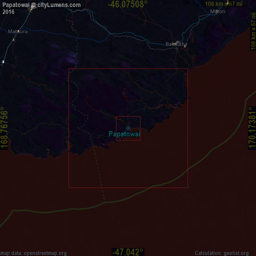
Analysis of Papatowai night lights 2016
Square area 10x10 km:
 0%
0%90-99
0%80-89
0%70-79
0%60-69
0%50-59
0%40-49
0%30-39
0%20-29
0%10-19
0%0-9
100%Square area 50x50 km:
0%90-99
0%80-89
0%70-79
0%60-69
0%50-59
0%40-49
0%30-39
0%20-29
0%10-19
0%0-9
100%Clear (daylight) street map image can be seen on geolist.org.
Map coordinates:
46° 4' 30.3" South, 168° 46' 3.2" East
46° 33' 38.5" South, 169° 28' 14.4" East
47° 2' 31.2" South, 170° 10' 25.7" East
Some cities around Papatowai sort by population:
• Dunedin
110.2 km =68.5 mi,  46°
46°
• Invercargill
87.6 km =54.4 mi,  281°
281°
• Ashburton
344.8 km =214.2 mi,  30°
30°
• Timaru
277.9 km =172.7 mi, 30°
• Oamaru
199.9 km =124.2 mi,  35°
35°
• Gore
65 km =40.4 mi,  321°
321°
• Queenstown
181.3 km =112.7 mi,  339°
339°
• Cromwell
170.6 km =106 mi,  352°
352°
2184943 (p: 6,593)
Sources (retrieved 2019-11-25):
» Earth at Night: Flat Maps 2012, 2016