Gore night lights from space
Night Light of Gore (Southland) from space (New Zealand) Src. Average luminocity for 10x10km area is 2.277% and for 50x50km: 0.145%.
Analysis of Gore night lights 2016
Square area 10x10 km:
 0.28%
0.28%90-99
0.28%80-89
0.14%70-79
0.99%60-69
0%50-59
0%40-49
0.43%30-39
0.14%20-29
1.14%10-19
0.57%0-9
96.02%Square area 50x50 km:
0.04%90-99
0.01%80-89
0.01%70-79
0.04%60-69
0%50-59
0.02%40-49
0.04%30-39
0.01%20-29
0.05%10-19
0.02%0-9
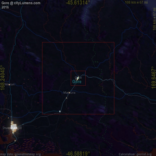
99.76%Clear (daylight) street map image can be seen on geolist.org.
Map coordinates:
45° 36' 47.3" South, 168° 14' 25.6" East
46° 6' 10.2" South, 168° 56' 36.9" East
46° 35' 17.5" South, 169° 38' 48.1" East
Some cities around Gore sort by population:
• Dunedin
123.2 km =76.6 mi,  78°
78°
• Invercargill
56.3 km =35 mi,  234°
234°
• Ashburton
328.7 km =204.2 mi,  41°
41°
• Timaru
262.1 km =162.9 mi, 43°
• Oamaru
193.3 km =120.1 mi,  54°
54°
• Queenstown
121.2 km =75.3 mi,  349°
349°
• Papatowai
65 km =40.4 mi,  141°
141°
• Cromwell
120 km =74.6 mi,  9°
9°
6201424 (p: 12,108)
Sources (retrieved 2019-11-25):
» Earth at Night: Flat Maps 2012, 2016