Bhinga night lights from space
Night Light of Bhinga (Uttar Pradesh) from space (India) Src. Average luminocity for 10x10km area is 15.4841% and for 50x50km: 2.0834%.
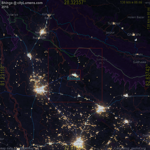
Analysis of Bhinga night lights 2016
Square area 10x10 km:
 2.98%
2.98%90-99
3.37%80-89
0.79%70-79
1.59%60-69
0.79%50-59
2.38%40-49
0.79%30-39
2.18%20-29
3.37%10-19
1.59%0-9
80.16%Square area 50x50 km:
0.18%90-99
0.22%80-89
0.06%70-79
0.14%60-69
0.25%50-59
0.31%40-49
0.35%30-39
0.74%20-29
0.7%10-19
0.97%0-9
96.09%Clear (daylight) street map image can be seen on geolist.org.
Map coordinates:
28° 19' 24.9" North, 81° 13' 52.2" East
27° 42' 10.2" North, 81° 56' 3.5" East
27° 4' 42.7" North, 82° 38' 14.7" East
Some cities around Bhinga sort by population:
• Bahraigh
36.4 km =22.6 mi,  246°
246°
• Balrāmpur
39.2 km =24.4 mi,  140°
140°
• Nepalgunj, NP
49.6 km =30.8 mi,  321°
321°
• Nānpāra
46.3 km =28.8 mi,  292°
292°
• Tulsīpur
51.1 km =31.8 mi,  111°
111°
• Ikauna
19.4 km =12.1 mi,  169°
169°
• Khargupur
36.7 km =22.8 mi, 171°
• Katra
23.4 km =14.5 mi,  157°
157°
1275921 (p: 22,016)
Sources (retrieved 2019-11-25):
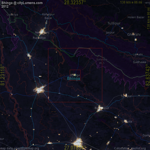
» Earth at Night: Flat Maps 2012, 2016